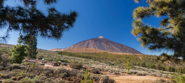
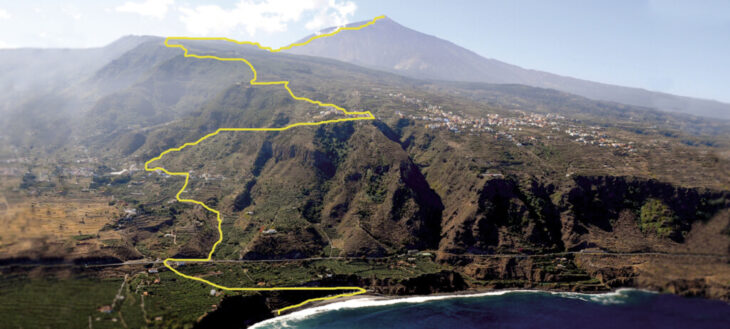
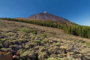
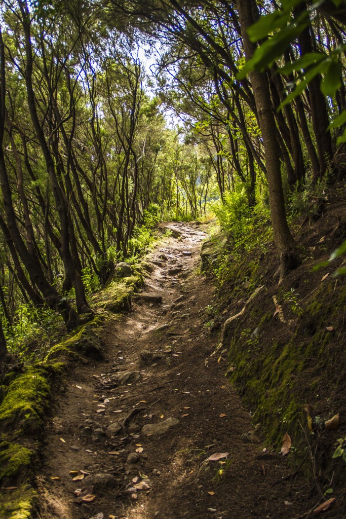
Tenerife‘s route 040 is an adventurous trail that reaches the summit of mount Teide, starting from the shore of Socorro beach in the municipality of Los Realejos and returning on the same path until one has once again set foot on the volcanic sand of the beach. It is, without a doubt, the toughest of Teide’s challenges, the third highest volcano on the planet as measured from its base.
The powers of evil, a kind of netherworld, which they greatly feared, lay hidden in the interior of Echeyde, which is what the aboriginal Guanches called the volcano, whose image was always surrounded with mystery. In addition to the achievement of this great feat, which with nearly 7,600 meters of accumulated height difference and 54 kilometers of mountainous route, it is the route with the highest orographic height difference in Spain, thus turning the island of Tenerife into an attractive sporting and a destination with cult status. Reaching the summit of the Atlantic giant is a huge challenge. But it only finishes once you have returned to sea level again. As those who love mountaineering say: “you’ve only finished the climb once you’ve come back down again For experienced runners and properly trained athletes, the route is considered a challenge to be completed in a single day. Many athletes and skyrunners of international renoun have attained it, each season achieving a previously unimaginable new record. For those less prepared in this type of tests, it is recommended to enjoy the route in several stages, completing the phases in two or three days, thus achieving the final goal more comfortably and with equal satisfaction.
In addition, the climatic conditions of the island allow this trail to be done during much of the year, except in winter when Teide is often covered with snow. A unique experience in an amazing place. Route 040 leaves no-one unmoved. Accept the challenge and enjoy it.
Warning
- During the periods from May 5th to June 13th, and from October 2nd to November 30th access to the route 040 from Piedra de Los Pastores to the Teide summit is closed from Monadys to Fridays.
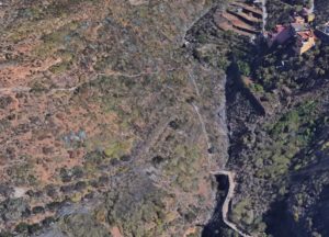
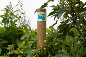
Route Map
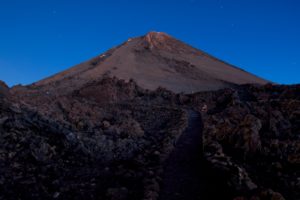
The Summit
The Rambleta
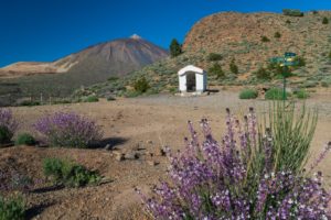
Montaña Blanca
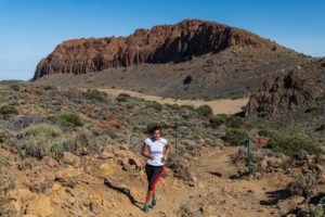
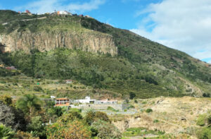
La Fortaleza
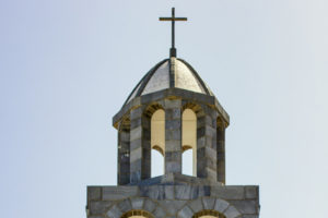
Fregel’s Cross
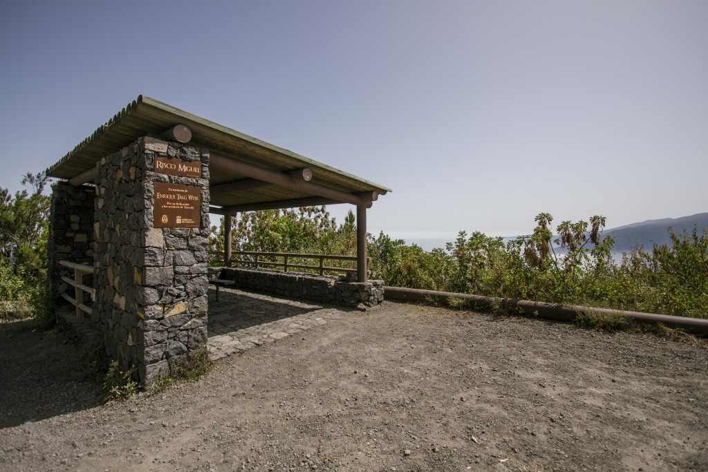
Cabezón Lookout
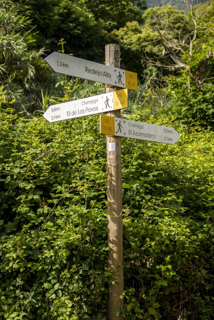
Asomadero

La Corona Lookout
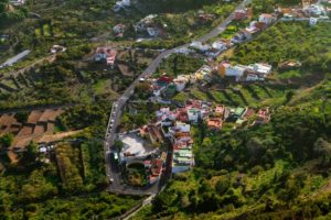
Icod el Alto
El Lance Lookout
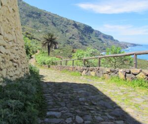
The Road “Camino de Las Vueltas”
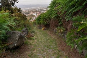
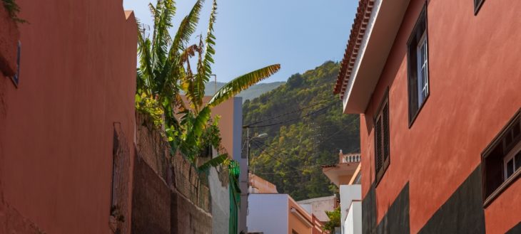
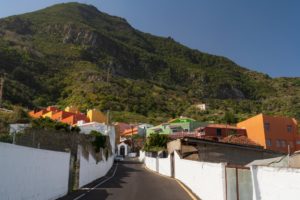
Tigaiga
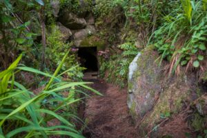
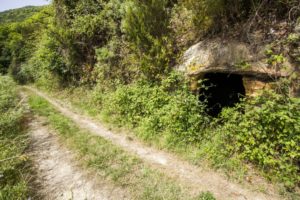
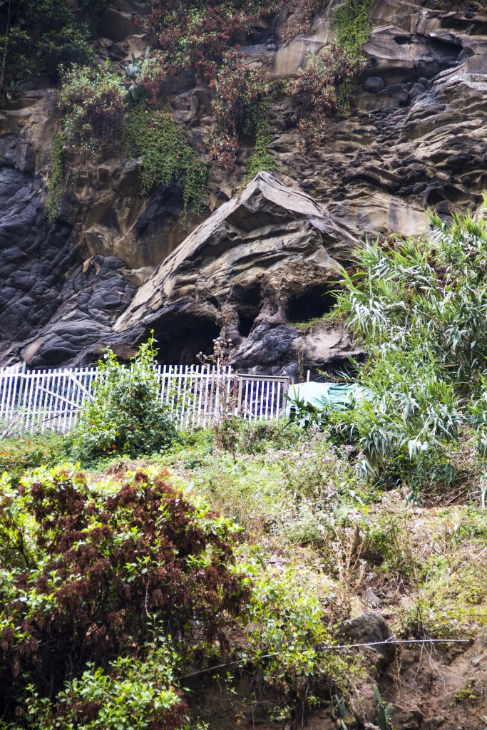
The Hamlet of The Cave
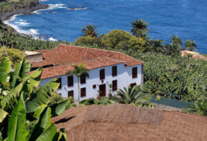
Haciendas Las Cuatro Ventanas and La Rambla
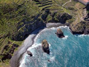
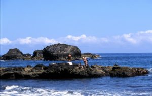
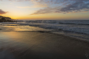
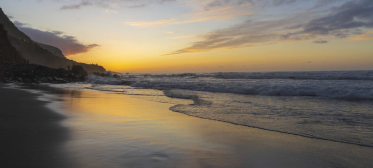
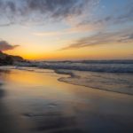
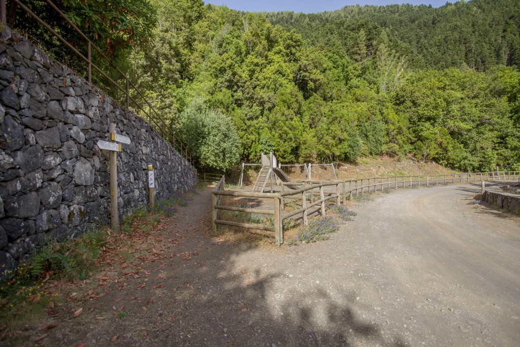
Socorro Beach
A BIT OF HISTORY
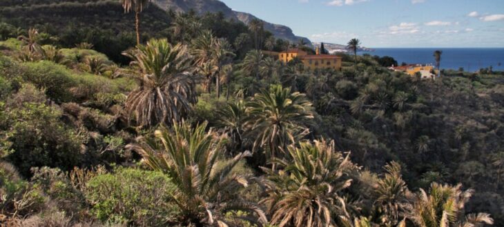
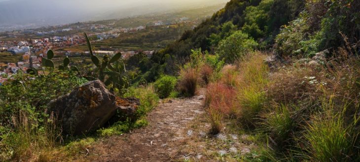
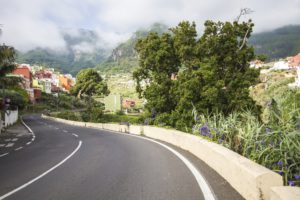
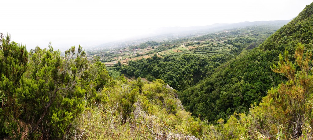
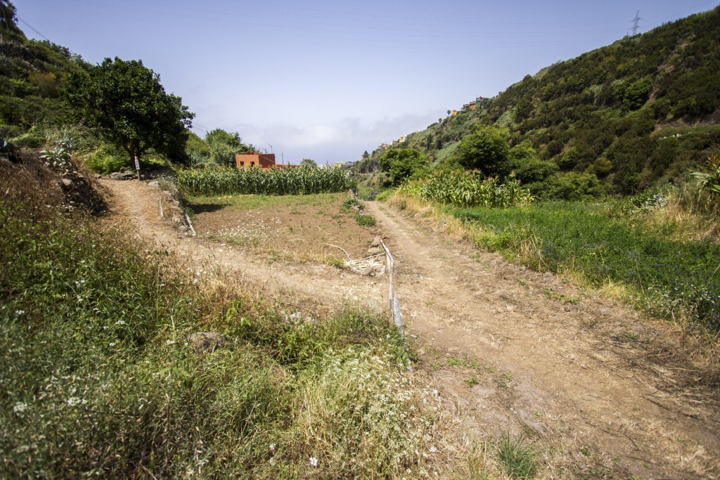
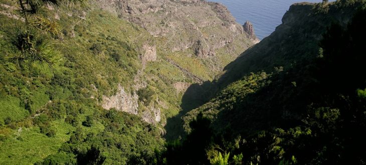
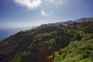
The municipality of Los Realejos, in the north of the island of Tenerife, has a quite remarkable orography. On its territory we find the Tigaiga mountains, a millions of years old massif that closes the Orotava Valley on the west. The trail which boasts the highest cumulative altitude on the island, runs along these steep slopes. A circular route that starts from level 0 on the Socorro beach to climb the Pico del Teide at 3,715 meters of altitude, and descend by the same path, back to the volcanic sand of the coast.
The trajectory of Route 040 is given by various old roads that connected farmsteads and hamlets of the municipality of Los Realejos, as well as others trails that ascended to the area of Las Cañadas and linked with those of the south of the Island. These roads were used for all types of transit: goods, animals and people that went up or down from the highest areas to the coast or vice versa.
Added to this is the interest shown by foreign visitors, since at least the 18th century, to climb Mount Teide and reach its summit. These characters, mostly scientists and naturalists, organized excursions that started from Puerto de la Cruz, passing through Los Realejos, and continue along these old trails that reached Las Cañadas, and from there start the ascent to the summit. There are many written testimonies about these outings that lasted several days, with different stages, many of them full of details and descriptions of places, notes about flora and fauna, as well as the people that accompanied them. It is through these notes that we know how the trail matches the current route 040.
Likewise, during the 20th century, the trail has been improved by different measures carried out by government agencies, such as the former Institute of Nature Conservation ICONA and later the Cabildo de Tenerife and the Canary Islands Government. Most important among them is the building of tracks to facilitate communication in the event of forest fires.
It wasn’t until 2018, though, and given the popularity acquired by the route, when different
institutions projected its improvement and homologation as a trail.
NOTES ABOUT FLORA AND FAUNA
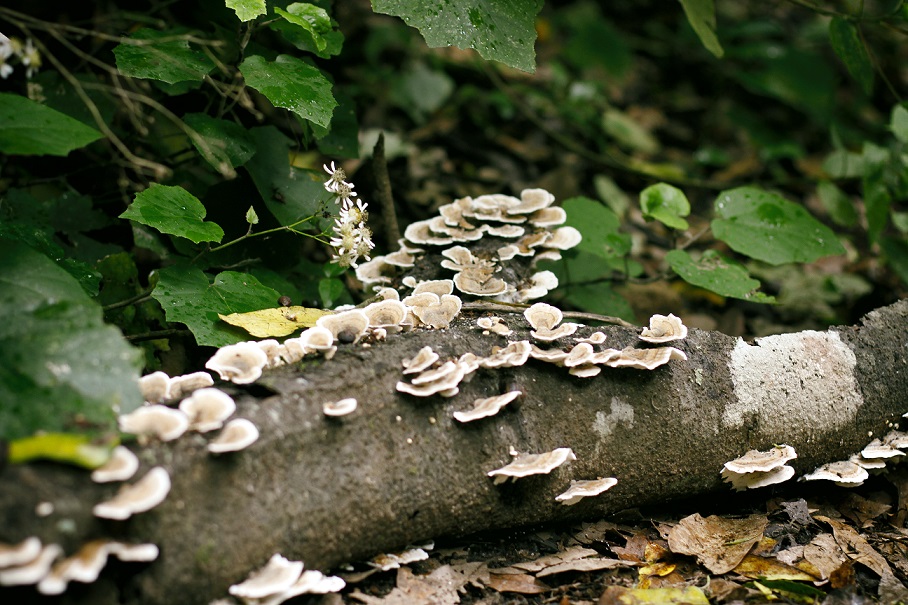
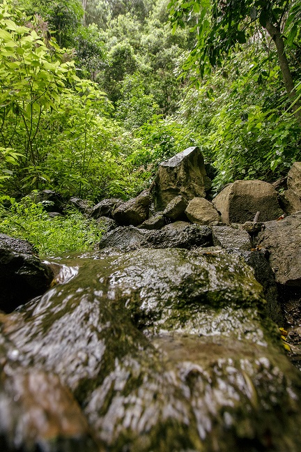
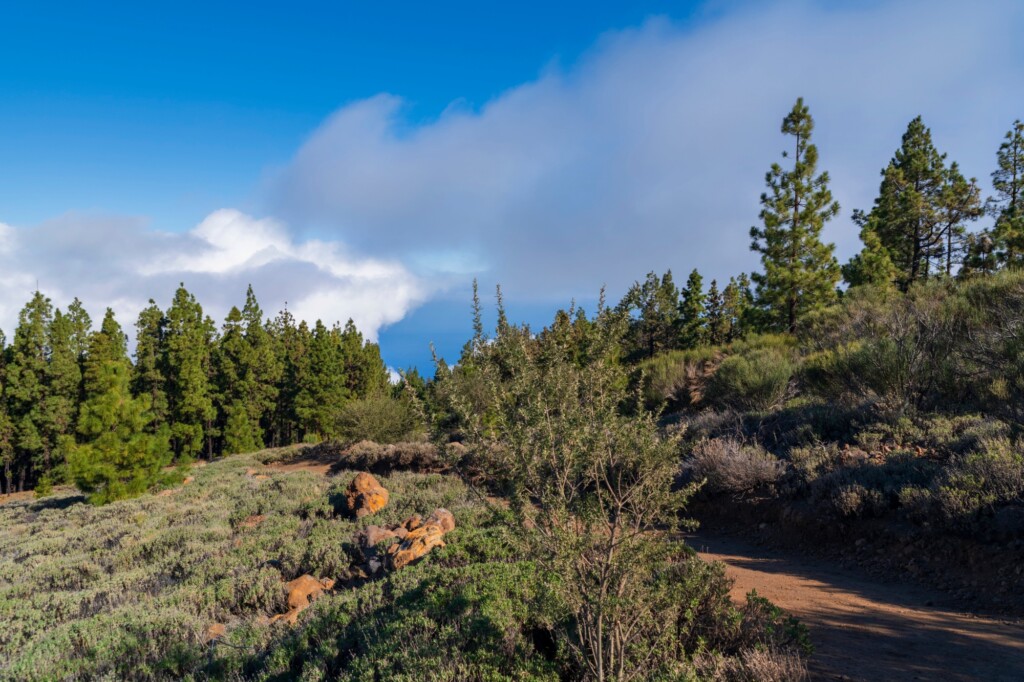
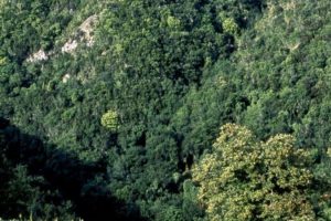
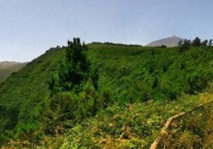
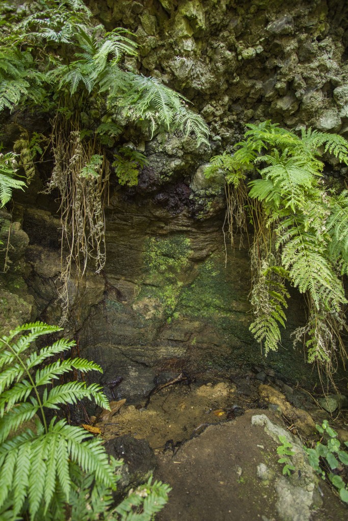
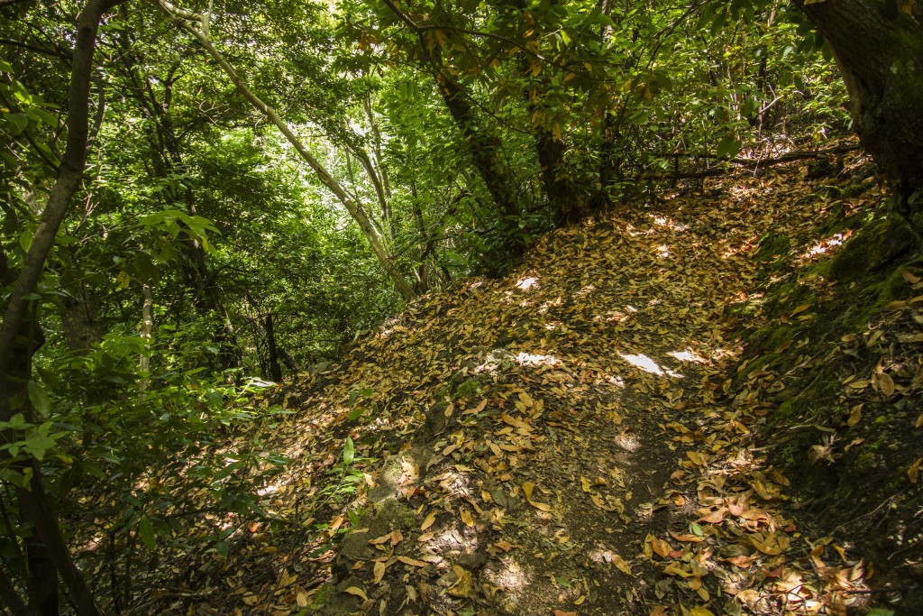
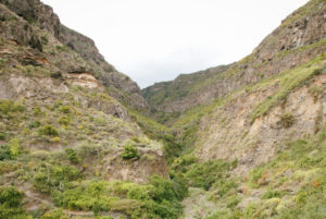
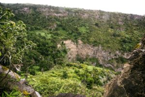
The trajectory of Route 040 takes us into protected natural reserves such as the Rambla de Castro, Tigaiga, Campeches and Ruiz, the Corona Forestal and the Teide National Park, where we can get to know first hand the wealth of the ecosystems and altitudinal zones of the north side of the island of Tenerife..
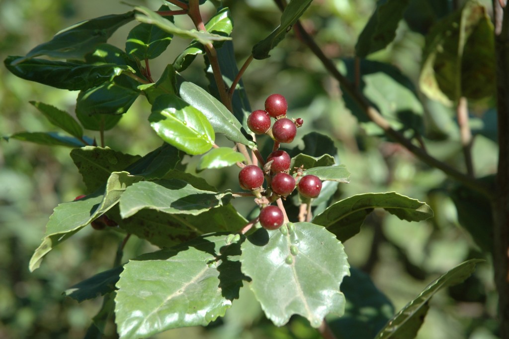
The rich biodiversity is evident in the multitude of plant and animal species that live in these places, especially on the slopes of Tigaiga, which reach from the cliffs on the coast to El Cabezón in the Teide National Park, where we find authentic relics of our natural heritage.
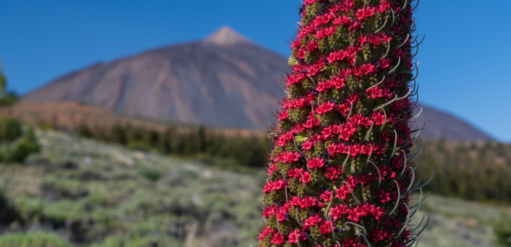
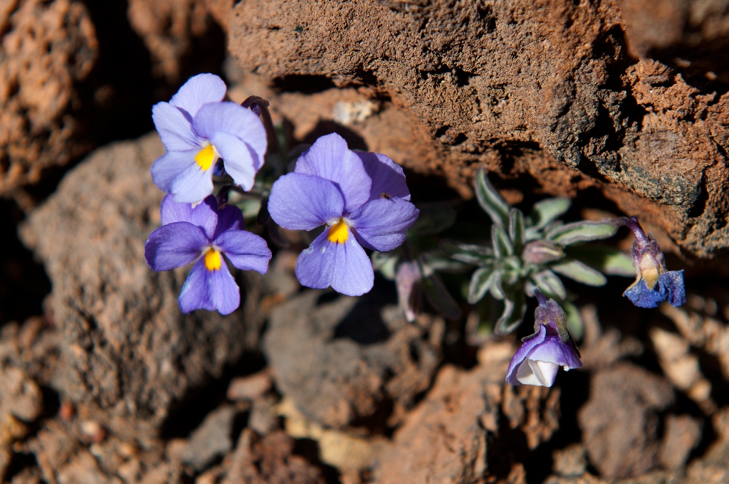
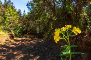
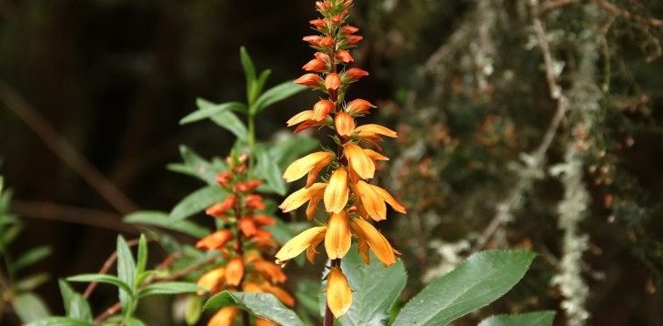
The summit or high mountain area is the habitat of the Pterocephalus lasiospermus (rosalito de la cumbre), with its striking flowers, the Tenerife blugloss and the retama brooms, as well as an endemic fauna, especially the invertebrate, which goes mostly unnoticed in the lava flows of Las Cañadas del Teide. The National Park, the most visited in Europe, has a rich and varied biodiversity, much of it located between solidified rivers of lava.
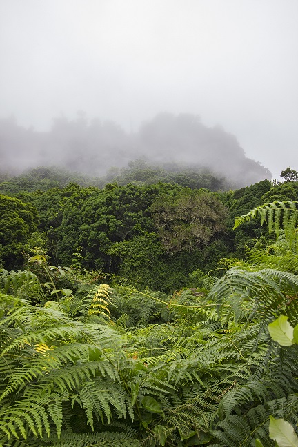
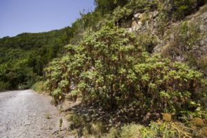
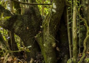
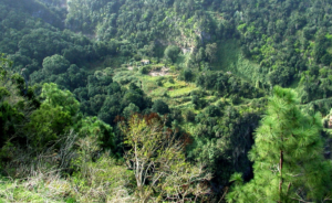
The vast expanse of the Corona Forestal is a nesting place for the blue chaffinch, the great spotted woodpecker and the black-headed warbler, which share this space within the mountain shrublands and the laurel forest. In the so-called monteverde, the humidity of the trade winds has maintained this millenary stronghold of species, both plant and animal, that coexist among pines, wild olive trees, persea indica, small-leaved hollies, picconia excelsa, stinkwood and Canary laurels, excellent sources of food for the white tailed laurel pigeons.
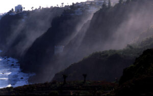
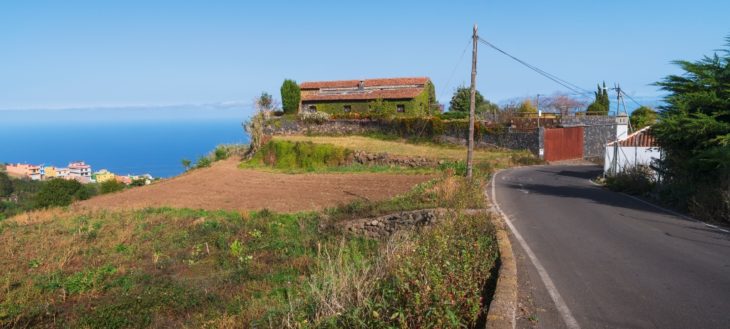
In the area of the midlands and where we find the main human settlements, the old thermophilic forests remain as vestiges of larger areas that have now disappeared. In them, junipers, dragon trees and palm trees can be found in the company of clary sage, morning-glory-trees, gold rod trees, tree limonium, dogfennel, Canary Island sorrel and the colourful Canary foxgloves. The fauna is numerous, among which the Tenerife lizard, the partridge, the kestrel and the common canary stand out. On the coast, the balsam spurge and the remains of Canary Islands spurge predominate, along with nesting areas for birds, especially shearwaters.
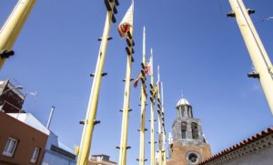
This natural wealth coexists with a particular cultural heritage that the municipality conserves thanks to a fruitful history that goes back several centuries. Los Realejos boasts with being the most festive town in Spain, with more than eighty festivities throughout the year. In its hamlets and districts, customs linked to the agricultural cycle, gastronomy, oral tradition and folklore are maintained, passed on from generation to generation by a population that has continued to look to its ancestral roots.
To visit the municipality is to enter its midlands; landscapes marked by narrow terraces, which in many cases contrast with extensions on which cereals and “bonita” potatoes are grown. Both products have a deep roots in the high areas of the municipality.
Los Realejos offers many possibilities to learn about its history in its cultural heritage, practice active sports such as paragliding, surfing and bodyboarding, hiking, trail running, or enjoy its festivals and gastronomy.
Route 040 is an example of this, since it allows you to get to know part of that legacy, both cultural and natural, traveling its more than 56 kilometers of trail, starting from the waters of the Socorro beach, ascending Mount Teide to crown it, and going back down again to return to the black sand of our coast.
Route directions
- We start off our hike at sea level on
 the black sands of Socorro beach. Here we take the road that leads us u to the TF-5 main road and we ascend up to the first crossroads.
 - On the way up, we will leave to our
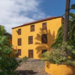
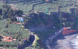
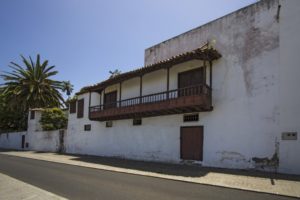
 right the Hacienda de las Cuatro Ventanas manor and the crossroads between bananas that allows us to reach the Guindaste natural pools. We pass under the tunnel and cross the road to take the path next to the signpost.
 - We climb up to the upper part of the
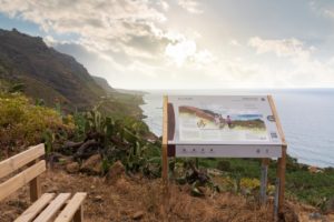
 ridge known as “Lomo del Bloliche” where there is a panel with a representation of the views of the Rambla. We walk down to the “La Cueva” road and then continue ascending.
 - We take the “La Cueva” road and
 continue ascending a stretch of land until we reach the hamlet. From here we continue on the asphalted road until the intersection.
 - At the intersection we turn left,
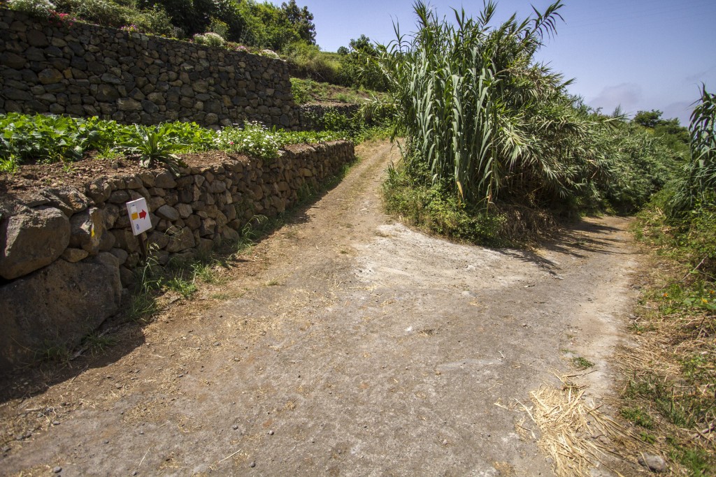
 walking a few hundred metres until we reach the intersection with “Camino Las Piedras” to the right.
 - We walk up “Camino Las Piedras”
 which is asphalted and reach “Calle Tigaiga” at the upper end. There is a well here, where we can refill our water bottles. We now have to turn left.
 - We each the sawmill at the
 intersection with the chapel of the “Cross of the Sawmill”. Here we turn right and begin the ascent on the old road “Camino de Las Vueltas”.
 - The first section of “Camino de las Vuletas” is partly asphalted, partly cemented that ends in a dirt road.
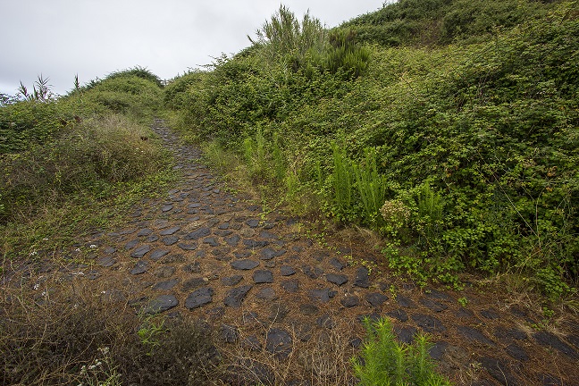
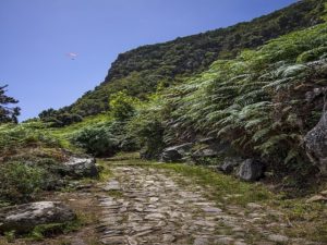
 Here we turn right and follow the original route. We walk up a winding, stone paved path until we reach the TF-342 main road.
 - On the Icod el Alto general road we
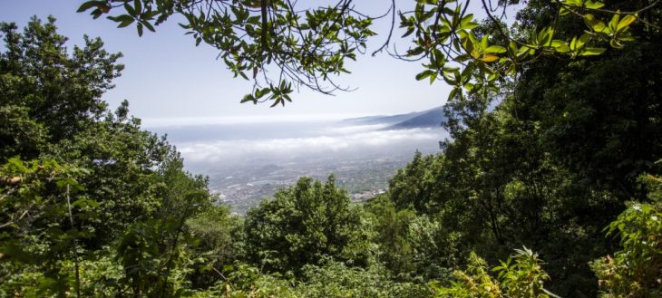
 turn right onto the pedestrian zone that along the edge of the road in direction of the El Lance lookout where we have impressive views of the Orotava Valley and part of the island’s north coast.
 - Once past the El Lance viewpoint,
 we will continue along the pedestrian walkway until we see a pedestrian crossing on the left which we must take to go onto “Calle El Lance” street.
 - This street has some particularly
 steep sections so we must be very careful, especially if there is traffic.
 - After passing through the inhabited
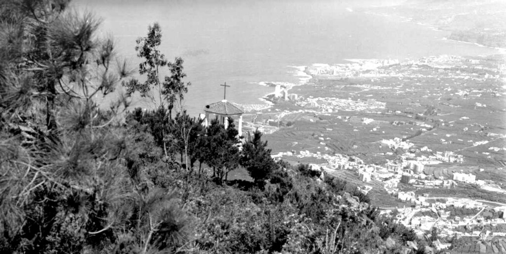
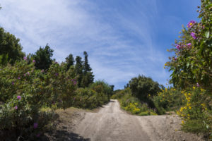
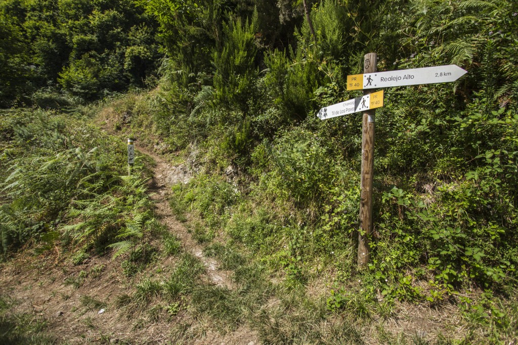
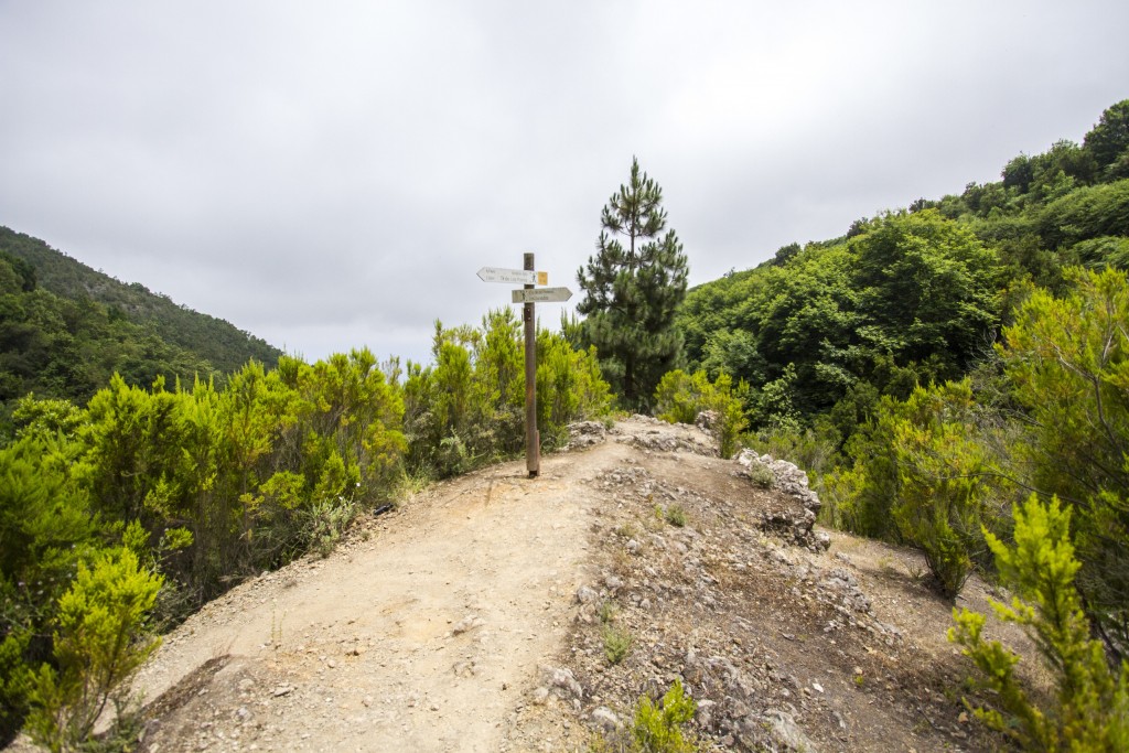
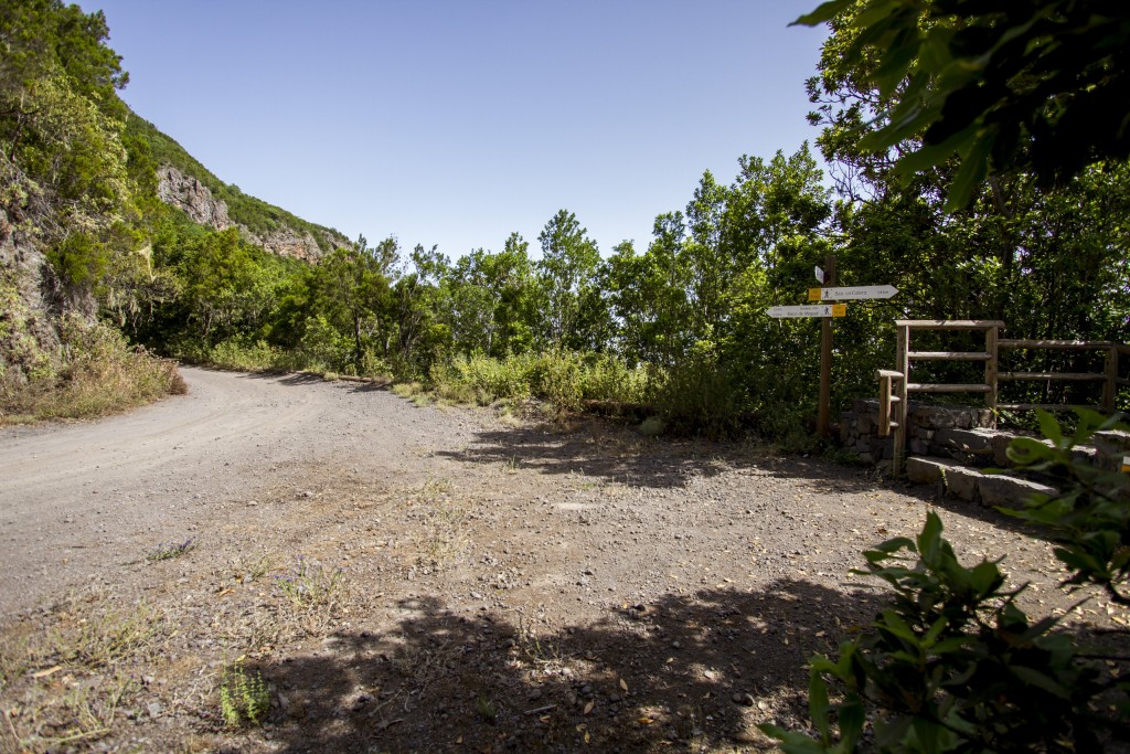
 area we reach an agricultural area where we will find the path that will take us to the La Corona lookout.
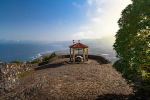
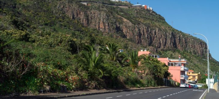
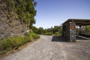
 - From the La Corona outlook we can
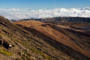
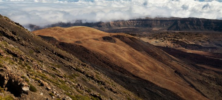
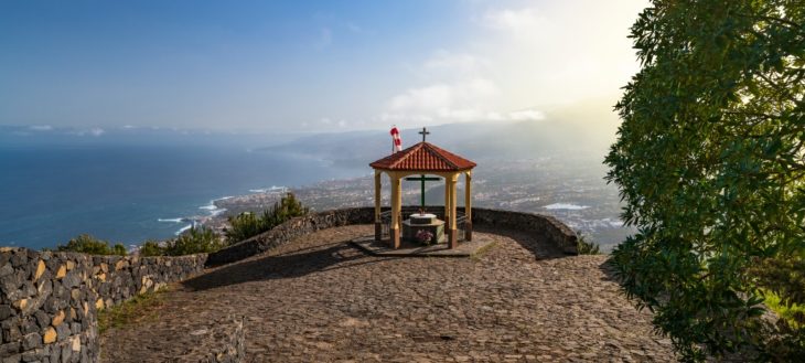 contemplate some of the most beautiful landscapes of the island’s north. We take the trail next to the geodesic mark and next to the parking area until we reach the “Asomadero” without turning from the path. The path goes on being steep and it has slippery stretches.
 - From the “Asomedero” lookout,
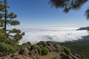
 situated at 1,100 metres above sea level, we can enjoy spectacular views of mount Teide and the entire Orotava Valley. Several antennae are situated here and the PRTF 40 Trail passes through here, too. We continue our trail in ascent.
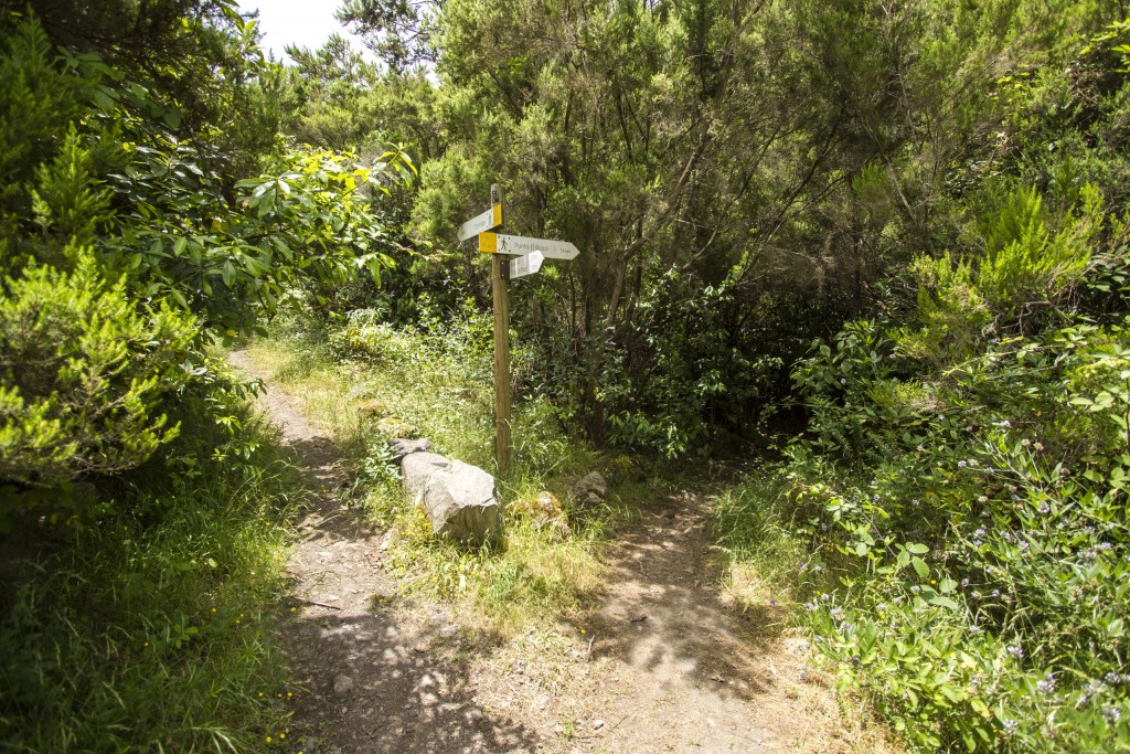
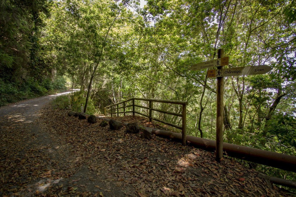
 - A few netres further on we
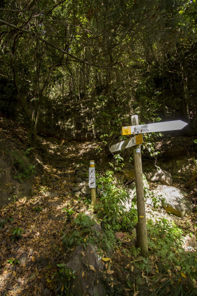
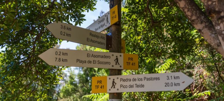 encouter a crossing of several trails: Chanajiga / Pino Llorón / Corral Quemado. We continue upwards without leaving the main trail.
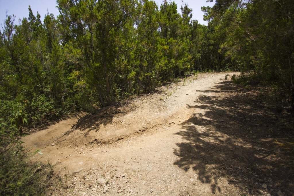
 - We cross an area of shrubland and
 pine forest with several intersections that we must not use. We reach an area known as “Piedra de los Pastores” (Shepherds’ Stone) and continue along the main trail.
 - We pass the “Piedra de la
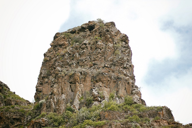
 Gallega”, the “Colmenar de la Chapa” and enter the National Park. Crossing the barrier we continue along the main path, turning a curve to the left and taking the path on the right until we reach the lookout of “El Cabezón” an 2,166 metres above sea level.
 - We mustn’t leave the main trail
 until we reach the foot of the “La Fortaleza” cliffs where we find the Chapel of Fregel or of the “Degollada” (the beheaded). Once we arrive here we continue on a short descent onto the plain.
 - One on the plain that bears
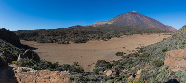 several names: Los Guancheros, de la Degollada, de las Brujas, we turn right onto th emain trail that leads us past a fenced plot of land, to National Park trail number 22 on the left. We cross the whole plain along this trail.
 - At the end of trail 22 we connect
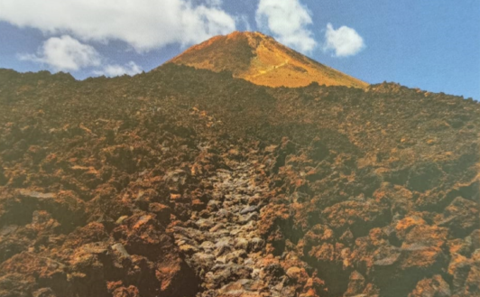
 with trail number 6 in the area of “Montaña de Los Conejos” (Rabbits’ Mountain). This trail also belong to the network of trail of the National Park. We reach the intersection with the Montaña Blanca trail and further on we take trail number 7 that will take us to the summit.
 - We continue along trail number 7,
 passing Montaña Blanca, an area of pumice, that leads through areas which are quite steep, some as much as 60%.
 - Halfway from Montaña Blanca we
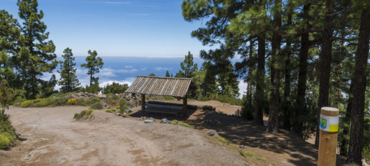
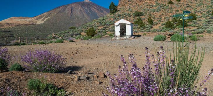
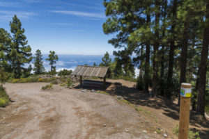
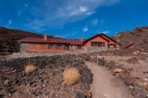
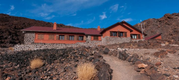 arrive at the Altavista Refuge, where we can rest. Inside we can drink water or refill the bottles, to continue on the road to Rambleta.
 - The trail ends at this point, La
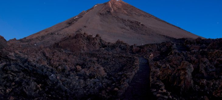 Rambleta, and on the left the Telesforo Bravo trail begins that will lead us to the peak. You can only walk through it with a special permit (see other information of interest). It is a high altitude, very steel section.
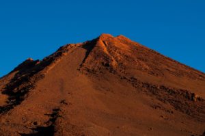
 - The summit is the mid point of
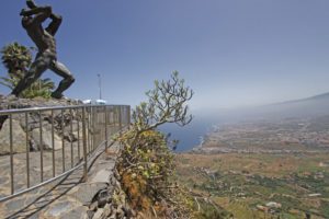
 Route 040. On a clear day you can see all seven islands and large part of the island of Tenerife. Once arrived at the summit, the return journey is along the same route, only in the opposite direction, which means we have to pass the itinerary points in reverse order.
IMAGE GALLERY
-
- Playa del Socorro
-
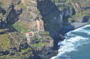
- Casona de Castro
-

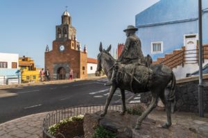
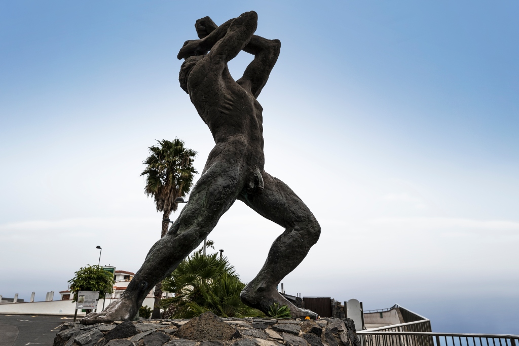
- Estatua del Mencey Bentor
-
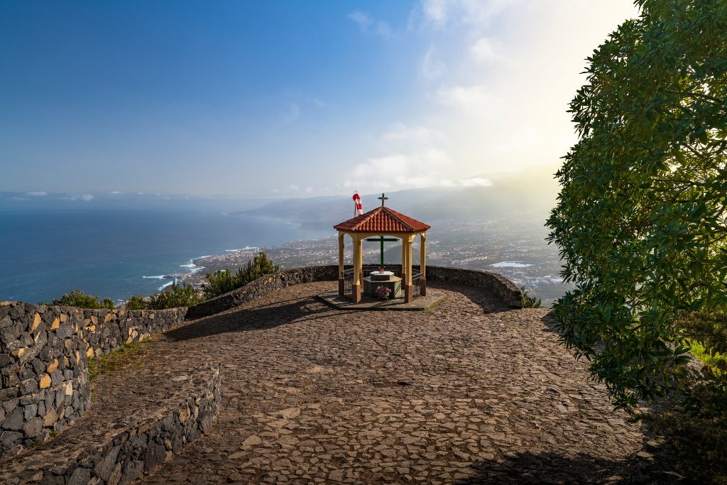
- Mirador de La Corona
-
- Corral de La Vega
-
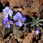
- Violeta del Teide (viola cheiranthifolia)
-
- Tajinaste (echium Wilpreti)

-
- Refugio de Altavista


 to the point of departure is the land that María Abarca gave to Francisco de Ruíz in 1520. He built the original hermitage to the apostle Saint James which in 1594 was destroyed during a flood in the ravine.
 a set of recently built stone stairs on the west side of the
  along stretches that are steeper and more stony, passing in front of a
 After passing these more difficult parts we reach a much more comfortable path, paved with stone and with stairs that takes us to the small square “Plaza de Pedro Domínguez” where we find the cross chapel of Los Rodríguez.From this small square we have a general view over the Barranco de Ruíz ravine. It is also a perfect place from which to observe birds of prey as well as the stacks of trachybasalt and phonolite with bands of tuff interspersed with red ochre deposits that can be found in the area.
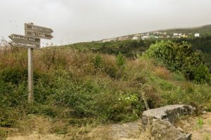 We continue ascending on Calle Orilla de la Vera until we reach the road crossing of Carretera de La Vera Baja. We walk a few metres upwards along this road until we get to the cobbled road on the left that takes us back to the ravine.In this section of the trail we can see the transition of the vegetation that passes from the lower altitudinal zones to Canary Island fayal-brezal with Canary Islands St John’s wort, Ironwort, Sage, Kleinia neriifolia, thistles, flax-leaved daphne and Canary dandelion.
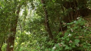
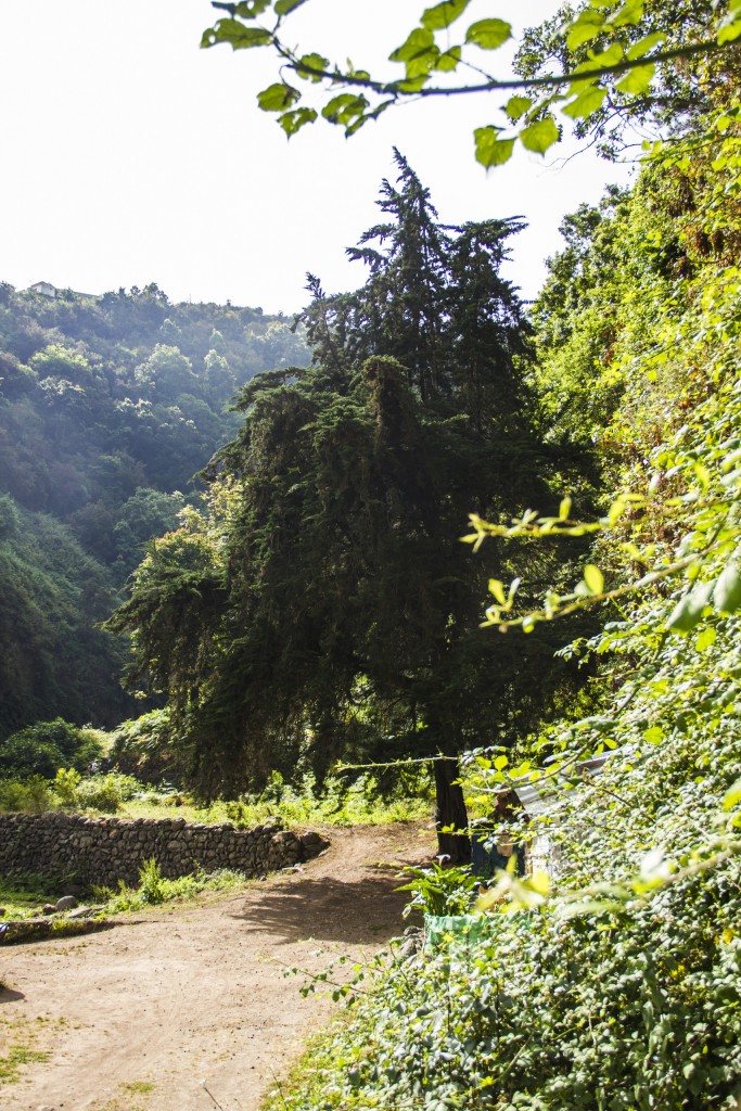
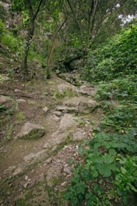 Crossing the ravine’s bed and entering the municipality of Los Realejos we reach a rather humid area along which we ascend through a stretch of great botanical interest containing species belonging to humid woods with brambles and willow shrubbery which turns into laurel forest with many species of trees and bushes. Among others there are picconias, Canary madrona, persea indica, visnea mocanera, laurel, Canary laurel, laurestine, hypericum grandiflorum, semele, Canary foxgloves, Canary Buttercup, Gesnouinia arborea, pericallis, wallflower as well as foreign species such as fig trees, chestnuts, danewort and red pea.Parts of this ravine are called “Barranco Hondo” (deep ravine).
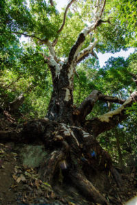 Before entering the forest proper we take notice of two large centennial, listed Canary madrones, which are known as the madrones of La Fajana. We can reach them by walking a few hundred metres down a narrow lane to the left of the path, past the bed of the ravine and
 We continue along a shaded and humid stretch where we find a large chestnut tree at the foot of which sits a rock shaped like a table that invites hikers to stop along the way.
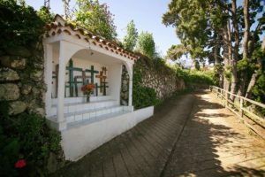
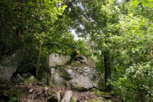 Continuing our walk we can see the cross of La Fajana. This kind of cross was put in difficult places and are a product of popular faith and a sign of sacralisation of these hard to reach stretches.
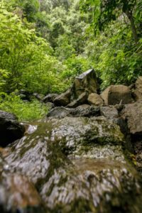 we cross the bed of a ravine called Barranco de Castro in that area and pass below a waterfall which will carry more water in the winter months. We continue along the path that takes us to the ravine’s exit, flanked by bands of volcanic tuff and red ochre that passes through areas of Monterrey and Canary Island pine, a few andenocarpus viscosus, willow shrub and other humid forest species.
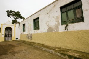 We arrive at the road down a cobbled path with beautiful views onto Teide. Turning right, we reach the
 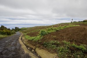 We continue upwards to the next intersection turning left onto the Calle Real. The Calle Real on the right hand is the road – called Camino Real – that back in the day connected the whole area and would lead us to the
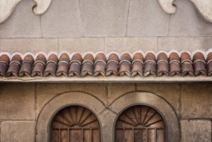
  Following its course, we find, to the right side of this street, the Compulsory Education Center of La Pared. In the 80s of the past century this was where the Los Alzados Cultural Project was initiated. This is an interesting initiative by the locals to recover musical and other traditions of the area. In the front part of the building is the Los Alzados museum.This group was awarded the Canarian Popular Culture Prize in 2012.
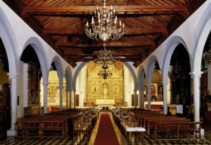
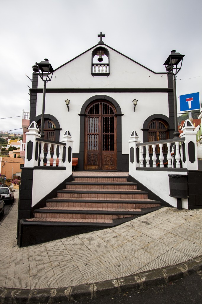
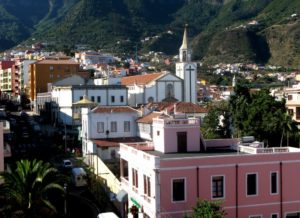
 Further down the street, we walk several hundred metres, leaving to the left the square of Poet Antonio Reyes until we reach the church in the centre of village, dedicated to Our Lady of Good Voyage. This church is documented as far back as the 16th century where it belonged to the parish of
 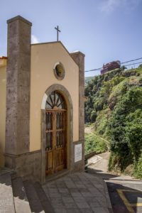 If we follow along the proposed route, we have to go onto the the church square and cross it to reach a set of steps that takes us to the next intersection along a very steep road that used to be part of the old Camino Real. Turning right we continue to the end of Calle Calvario where, next to the small square Placita del Calvario, a small cement ramp begins that connects to a dirt track that we can see on the right.In the past there used to be a old cross chapel here that was transformed in 1930 into the parochial Calvary. The image of Our Lady of Good Voyage is brought here by a procession every last Sunday of August.
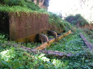
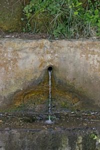 Further along this road we find the old well and the laundry area
 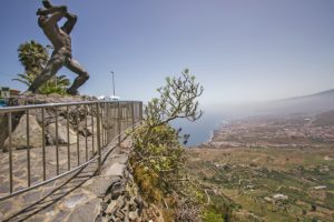 We turn left onto the side walk along the road in direction of the
 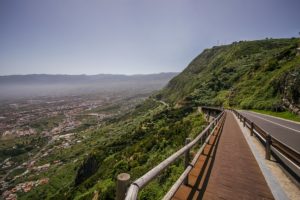 We continue along the side walk leaving to the right a cemented ramp that leads to the Camino del Risco (aka Camino de La Baranda). Above this section is the cross of La Baranda on the side of the now disappeared Camino Real. This cross is not visible from the road.
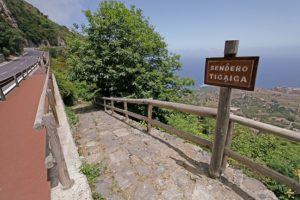 Further along and to the left we will find the road “Camino Real de Las Vueltas de Icod El Alto” which his duly marked out. This road connects Icod El Alto with Realejo Bajo as was recovered after the whole area was declared nature reserve. Although not visible from the road, to the right is the spring of La Fuentita.This area is formed by sedimentary deposits from the cliffs with patches degraded evergreen shrubland and elements of laurel forest such as common and Canary laurel.The road called Camino de las Vueltas is an ancient road from Prehispanic times that connected the Icode and Taoro “menceyatos” as the territory ruled by a mencey is called. Until well into the 20th century this was the only road between Icod el Alto and Los Realejos. Travellers of the road told legends of witches and lights that would appear on the road early in the morning.Those legends and stories gave rise to news such as published in the newspaper La Opinión in 1905. It said: “On the road known as Camino de las Vueltas de Tigaiga, belonging to Los Realejos, there is a bramble that is admired by all travellers; it is said that from said bramble voices emerge that sound like those made by a phonograph, due to which the phenomenon
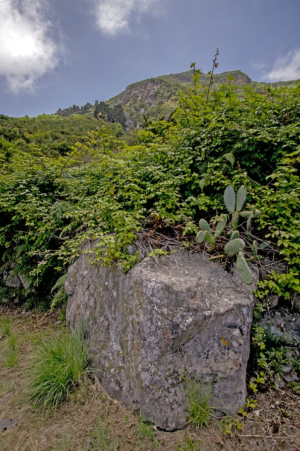
 We descend along this cobbled road, leaving behind a first intersection that leads to the Camino de la Cantera, next to the ruins of a building on the left, locally known as the house of Mauina, where we find the Stone of Juan Pérez. This stone, named since the mid-16th century was a stop and resting place for weddings and funerals on their way to the Realejo Bajo parish. It was a milestone on the way and its peculiar form lent itself to this kind of recess.The character of Juan Pérez forms part of the imagery of the legends of Los Realejos. It is said that arriving at a huge bramble on the road of Las Vueltas on the edge of the road he heard voices emanating from its branches. He asked several time who was there and why they were picking berries at night, but no one answered. The next night, passing along the same bramble he heard the same voices… They were the voices of witches that spent the night eating berries.Below the Piedra de Juan Pérez, there is the Zapatero pond and the house at La Punta, nowadays very much changed. This house was a shop and a bakery, as well as a resting place and inn for travellers. Very close to this place was a basalt quarry where many cobblestones were quarried that were used to pave a great number of streets and squares in Tenerife.
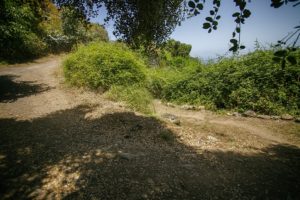 Further down and past a house with a fence we arrive at the next intersection where we take the path to the left. If you prefer, you can carry on right in direction of Los Pinitos, a small cove of pines and other trees.
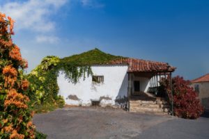
 Towards the end of the descent the path becomes a street and we reach the intersection with Cruz del Aserradero. But before arriving a this point, and where today a block of flats stands, used to be the shop of María la Chacona. Thisis an important milestone on the Camino de las Vueltas due to the many colourful stories that took place there. Among all these stories, one of them is about how doña Matía, in times of prohibitions regarding the collecting of fire wood and dried pine leaves, let her neighbours know that the Guardia Civil was at her house. To this end she draped a white sheet over some stones, so that everyone coming down from the woods with fire wood knew to take an alternative route down to avoid the authorities from requisitioning it. “Asserradero” means sawmill and the place gets its name due to one having been located here. A stone with carved initials attest to the site. From here we can choose to continue along the recommended itinerary, following Calle Barroso, or enter the streets of Tigaiga.The optional visit to the district of Tigaiga invites you to visit some of its old houses, such as the Casa de La Era or La Cantera, its chapels and the
 We continue along Calle Barroso, leaving to the left the intersection with Calle Tigotán, and a few metres further on we find the cross chapel of Barroso, also known as the chapel of La Hoya. This is a new building that substitutes the old one constructed in the mid-20th century as yet another manifestation of the locals’ devotion.For those who love restfulness and nature, only a few metres away, to the left along Calle Los Quintos lies the idyllic rural tourist complex
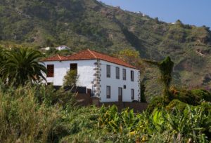
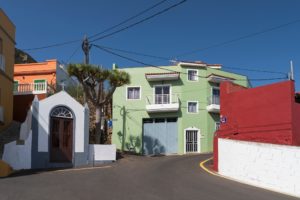
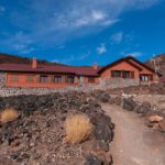
 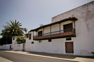 We continue walking east to arrive at Calle Los Príncipes that leads us into the heart of
 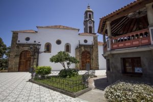 We follow the route along Calle Guillermo Camacho and Pérez Galdós until we arrive, a few metres further on,
 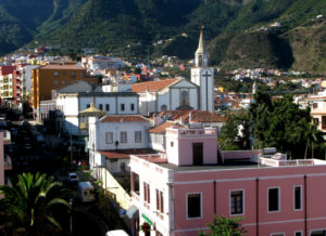 Arriving at the intersection between Calle El Cantillo de Abajo and Calle La Alhóndiga, we continue in a straight line along the former, leaving to our right hand side the old headquarters of the Musical Philharmonic Society of Los Realejos (the oldest musical group of the Canary Islands). We can observe several examples of eclectic architecture before reaching the square of the Shrine of
 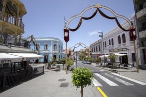 The last part of the route consists of a walk through these streets that invite you to visit the shopping area, or having a delicious meal at any one of the nearby restaurants or tascas.