
Details
| Difficulty | Difícil |
| Duration | 7:00 horas |
| Circular | No |
| Distance | 14,41 km |
| Acc. drop | 2.198,00 mts |
Starting point for this hike is the Viera y Clavijo square right next to one of the most festive streets of the municipality: The “calle el Medio de Arriba”. This street and the “calle del Sol”
are the centre of one of Europes biggest pyrotechnical shows. It takes place on every 3rd of
May during the festival of “Crosses and Fire in May” in Los Realejos.
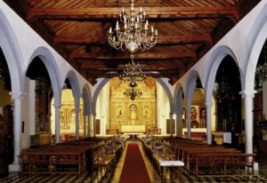
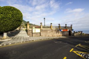
Important points of reference are the municipal Office of Tourism and the church of the Apostle St. james, which was the first Christian church on the island. On the other side of the road is the old town hall, built by Juan Margarit Serradel in the seventies of the past century and which currently holds the municipal library “Viera y Clavijo”.
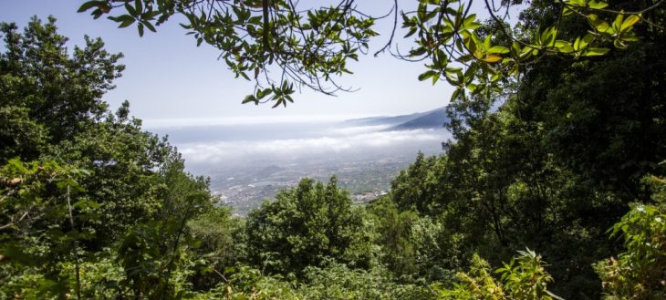
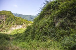
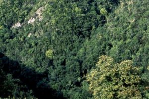
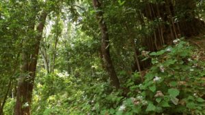
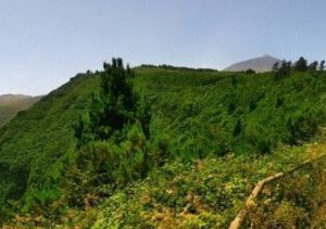
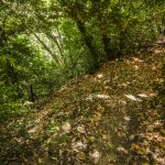
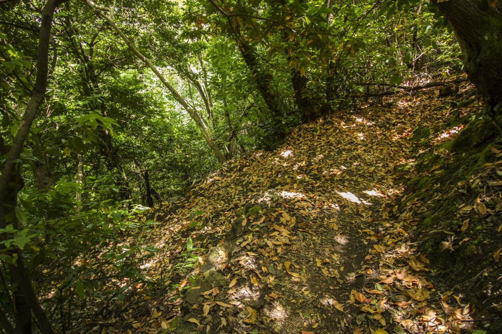
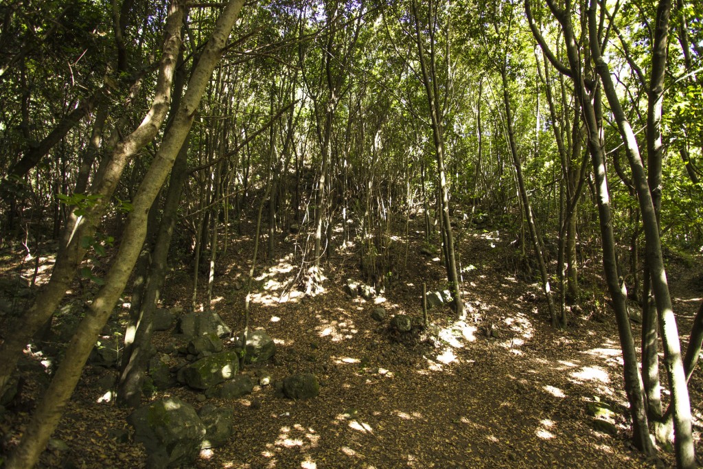
The main part of this trail follows the channel of the La Lora ravine through the “Corona Forestal” nature reserve which has a surface area of 46,613 hectares and is hence the largest protected nature reserve of the Autonomous Community of the Canary Islands.
On our way up to the recreational area of Chanajiga we come across a number old roads and paths, houses and other interesting buildings that tell us how the lives of the residents of the area were completely connected to the environment.
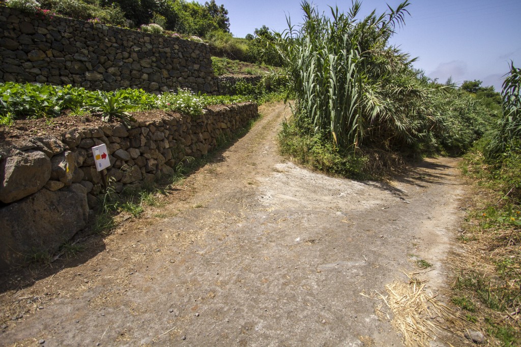
It is worth mentioning that this trail is registered and complies with European regulations. The standardised waymarks that we will find along the way consist of two parallel stripes, white on top and yellow below, this being a short path.
Route map
Apuntes de interés
First Christian Church of Tenerife
The first news about the existence of a place dedicated to the apostle Saint James are rooted in the historic fact that this is the place where the Guanche “Menceyes” (aboriginal kings or chieftains) surrendered in spring of 1496. The Castilians soon set the foundations for a church and began construction “with the splendour available at the time”.

The Baptism of The 9 Guanche Kings
According to ancient tradition, recounted by the poet Antonio de Viana and historians Juan Núñez de la Peña and José de Viera y Clavijo, the nine Guanche Menceyes received baptism in the stone baptismal font of Tenerife’s first church.
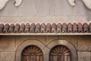
Historical Town Centre of Realejo Alto
In 2014 the town centre of Realejo Alto was declared cultural heritage in the sub-category of historical ensemble. It houses the last examples of historical architecture of the area.

Cinema Viera
At only a few metres distance lies the Viera cinema, a building in neocanarian style, built towards the end of the forties of the past century by the architect Enrique Marrero Regalado.
Listed Centenarian Species
Not far from the intersection of “calle El Medio de Arriba” and “Travesía El Pino” are two large, centenarian, listed trees: a Canary laurel and a Canary pine.
May Crosses and Fires
The crosses of “calle El Medio” and “El Sol” are the exponents of one of the most important festivities of the municipality: May Crosses and Fires, a festival that was declared of national touristic interest and that is celebrated on every May 3rd with one of Europe’s biggest firework spectacles.

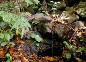
La Lora Washing Area
At just a few meters from the main route that climbs through the La Lora ravine lies an old washing site that is now overgrown with vegetation.
The Water’s Significance
Due to the richness and variety of species that exist there, the slopes of Tigaiga are important refuges of biodiversity. The crucial role that water plays here becomes apparent with all the canals, galleries, washing sites, springs and pipes that we can find along the way.
Chestnuts and Basketry
The chestnut trees that we find along the way supplied raw material for the craft that Los Realejos most famous for: basketry. The large variety of baskets produced here was known well beyond the local region.
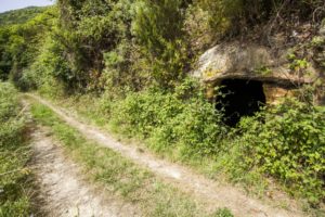
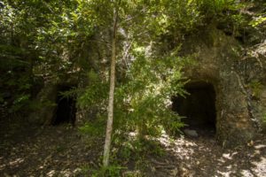
Cave in the Rock
On the wayside, hewn into the rock, is a cave that can be used for shelter when it rains. Inside is a feeding trough which is why it is thought that it may have been used as a stable in the past.
The “Los Pavos” Stinkwood
Further up the slope we find a spring called “Fuente del Til” where we can see an impressive specimen of centenarian stinkwood, known as the “Til de los Pavos”.
The Hut of Enrique Talg
Enrique Talg Wyss (1924 – 2006) was a pioneer of tourism and a great admirer of the islands’ landscapes and natural spaces. He dedicated a large portion of his efforts to raise awareness for the value of nature and to promote and maintain the trails.
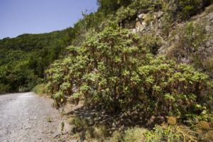
The Bencomia
The bencomia is an endemic plant of the Canary Islands that grows in form of a woody shrub. It was described by Aiton Webb and Berth in 1846 and is dedicated to Bencomo, one of the Guanche kings of Tenerife.
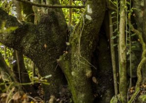
The Stinkwood of “Camino del Guarda”
The stinkwood tree has a slender, cylindrical trunk which branches copiously close to the ground. It is an evergreen and its canopy is dense and spherical in shape. It is the largest in the laurel forest. Another large and old specimen of stinkwood can be found on the left wayside.
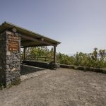
The “Asomadero” Outlook
From the overlook of “Asomadero” at 1,100 metres above sea level, we have a spectacular view of Teide and over the whole Orotava valley.
The “Tarasca” Caves
A few meters further from the small overlook which lies halfway down the track from “Asomadero” we find the caves of “Tarasca” on the right hand side, two open caves that were carved into the rock.
Flora y fauna
The escarpments along the slopes of Tigaiga which are practically bare of vegetation are ideal nesting areas for birds that nest in crevices and on ledges. Surrounded by less steep slopes where laurel forest and thermophile shrubbery grow, these cliffs have numerous
natural ridges and cavities that are used by birds for nesting. While the common bussard (buteo buteo) is probably the most conspicuous bird of prey in this area due to its wingspan, you can also find common kestrels (falco tinnunculus) and Barbary falcons (falco pelegrinoides).
We must also not forget that these escarpments, especially the ones covered in vegetation, are excellent nesting grounds for the endemic Laurel pigeon (columba junoniae) and Bolle’s pigeon (columba bollii), the two endemic species of the Canary Islands that are associated with the laurel forest and shrublands.
In the less steep ravines, slopes and escarpments shrubbery grows that mixes with the pine woods at higher altitudes. A great number of invertebrates that can only be found on the islands live in these areas: among others land snails of the genus hemicycla, beetles and
millipedes.
As far as birds are concerned, one of the most characteristic but at the same time most elusive bird in these surroundings is the Eurasian woodcock (Scolopax rusticola).
Route Description
 We set the starting point at the Viera y Clavijo square, opposite the Los Realejos Municipal Tourist Office. Here stands the church of the Apostle St. James, Tenerife’s first Christian church. The first account of the existence of this site, dedicated to the apostle St. James, is given because this is the place where the historic capitulation of the Guanche menceyes took place in the spring of 1496, on the land taken by the conquerors in the Taoro territory.
According to ancient tradition, followed by the poet Antonio de Viana and the historians Juan Núñez de la Peña and José de Viera y Clavijo, the nine Guanche kings as well as many other important aboriginals, received baptism in the carved stone baptismal font. The church of Apostle Saint James was declared National Historic Monument and Cultural Heritage in the monuments category in 1983. The line formed between the Viera y Clavijo square and the street “Calle El Medio de Arriba” shows a view reminiscent of the traditional old town centre which today has disappeared. Every year in July the traditional “Jacobean Pilgrimage” to Santiago del Teide parts from this square. Crossing the street we can enjoy a beautiful view from the outlook on the Plaza de la Unión, just above the Municipal Office of Tourism, or visit the municipal library Viera y Clavijo, whose building was used as the town hall before moving to its current location.
We set the starting point at the Viera y Clavijo square, opposite the Los Realejos Municipal Tourist Office. Here stands the church of the Apostle St. James, Tenerife’s first Christian church. The first account of the existence of this site, dedicated to the apostle St. James, is given because this is the place where the historic capitulation of the Guanche menceyes took place in the spring of 1496, on the land taken by the conquerors in the Taoro territory.
According to ancient tradition, followed by the poet Antonio de Viana and the historians Juan Núñez de la Peña and José de Viera y Clavijo, the nine Guanche kings as well as many other important aboriginals, received baptism in the carved stone baptismal font. The church of Apostle Saint James was declared National Historic Monument and Cultural Heritage in the monuments category in 1983. The line formed between the Viera y Clavijo square and the street “Calle El Medio de Arriba” shows a view reminiscent of the traditional old town centre which today has disappeared. Every year in July the traditional “Jacobean Pilgrimage” to Santiago del Teide parts from this square. Crossing the street we can enjoy a beautiful view from the outlook on the Plaza de la Unión, just above the Municipal Office of Tourism, or visit the municipal library Viera y Clavijo, whose building was used as the town hall before moving to its current location. Exiting the square along one side of the library we can find a signboard with a map of the trail. A bit further we reach the road crossing with calle Godínez. This street crosses the ravine of the same name and can takes us either down to Realejo Bajo or to the house that is the birthplace of Viera y Clavijo. The house still has its original façade and can be found going up to the left in the street of that same name, that used to be called “Calle del Agua” (Water Street) where water gathered from the various springs was channelled to the sugar mills of “Realejo de Abajo”.
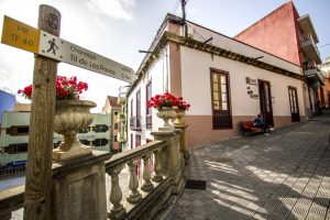 Back on the trail we continue upwards along Calle El Medio passing by the municipal consumer and local development offices to our left, which are located in the building where the old town hall of Realejo Alto used to be. A few metres further on, on the same side of the street, we find the Viera cinema, a building in Neocanarian style that was built during the late nineteen-forties by the acclaimed architect José Enrique Marrero Regalado. At the moment the building is closed waiting to be refurbished from the ground up.
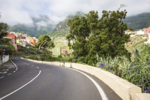
 We continue upward a little more than 300 metres, leaving behind us the road crossing that goes to Icod El Alto, before which, however, we find the Hotel Rural Los Realejos, a quality hotel that is housed in a meticulously renovated 17th century Canarian building. If we turn right and continue for another 50 metres until we reach the edge of the ravine, we can see two large protected centenarian trees: a Canary laurel and a Canary Island pine tree.
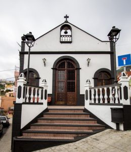 Back on Calle El Medio de Arriba we continue climbing until we reach the cross chapel and from there on continue upwards leaving the chapel on our left side and reach the street Calle Las Toscas de Romero. The crosses on Calle El Medio de Arriba and Calle El Sol are central to the municipality’s most important festival: Crosses and Fires of May (the first festival to be declared of “touristic importance” in the Canaries and of “national touristic importance” in 2015) which takes place on every 3rd of May and displays one of the biggest pyrotechnical exhibitions in Europe.
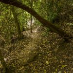
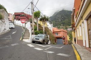 We leave the crossing of Las Toscas de Romero to the left and continue to the right toward barranco La Lora (“La Lora” ravine). Just a few metres further on, on the left hand side we find a centuries old trough that supplied water to locals and passing livestock. The asphalt road turns into an old, stone paved roadway (one of the few that still exist in the area) and once this ends we continue uphill along a cement path through the ravine’s channel.
On the left we can see a slope covered in a great variety of plant species, such as Canary laurels, rumex, prickly pears, bamboo, Canary Island St. John’s wort and tree houseleek. Soon afterwards we arrive at a crossing with a path to the right that leads to the hamlet of Caserío del Tanque de Arriba. At this point we can see three stone columns that formed part of an old aqueduct. We continue our advance and cross the channel.
We leave the crossing of Las Toscas de Romero to the left and continue to the right toward barranco La Lora (“La Lora” ravine). Just a few metres further on, on the left hand side we find a centuries old trough that supplied water to locals and passing livestock. The asphalt road turns into an old, stone paved roadway (one of the few that still exist in the area) and once this ends we continue uphill along a cement path through the ravine’s channel.
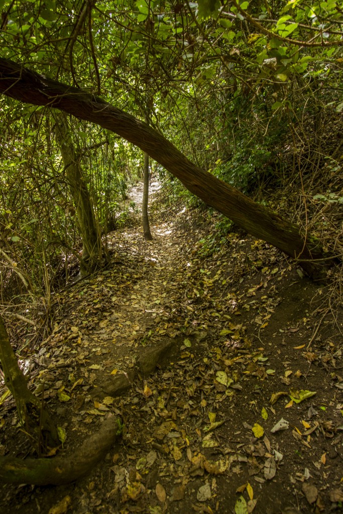
On the left we can see a slope covered in a great variety of plant species, such as Canary laurels, rumex, prickly pears, bamboo, Canary Island St. John’s wort and tree houseleek. Soon afterwards we arrive at a crossing with a path to the right that leads to the hamlet of Caserío del Tanque de Arriba. At this point we can see three stone columns that formed part of an old aqueduct. We continue our advance and cross the channel.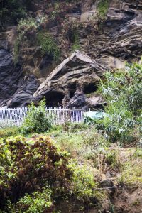 Along the way we find some prefabricated installations that the locals use for animal corrals. Various fruit trees appear alongside the path and among them a small entrance that opens to the left that leads to the old La Lora washing place, nowadays overgrown with vegetation.
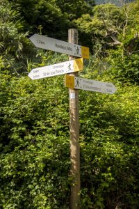 We continue the ascent to the left, leaving to the right the path that goes up to the “Asomadero”. At this point we encounter a landscape with a vegetation that is the result of man made changes in the ravine. In the 20th century there were projects that envisioned the construction of a reservoir in this place. These were never finished but have left their mark on this place. We leave the Garabato ravine to the right and continue along the La Hondura ravine on the left.
 The path leads us up to a large coniferous tree that rises from the foot of the Florida Baja water gallery. It should be remembered that it is prohibited to enter the water galleries. In many of them gases are emitted that are toxic for humans. From here on the trail leads us to the left where we begin the ascent beneath stone walls and passing alongside terraces that once were used for farming. A stretch with steps takes us over the La Hondura hillock from where we can hear the calls of the common buzzards in flight. We continue past the old farming areas which today are overgrown, mainly with fern and brambles.
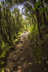 Passing through stretches with heather and chestnut trees we arrive at a path on the right that leads to the hamlet of La Florida or, as it is also known, Villanueva. A slight ascent over the cemented road that passes through this hamlet allows us to contemplate a variety of
ornamental plants that were introduced by the locals. Just at the end of the hamlet we find a road that to the left would take us to Placeres and Palo Blanco.
Passing through stretches with heather and chestnut trees we arrive at a path on the right that leads to the hamlet of La Florida or, as it is also known, Villanueva. A slight ascent over the cemented road that passes through this hamlet allows us to contemplate a variety of
ornamental plants that were introduced by the locals. Just at the end of the hamlet we find a road that to the left would take us to Placeres and Palo Blanco.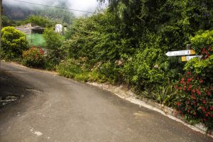 Leaving the hamlet of La Florida or Villanueva behind we ascend the slope walking through private fields and arriving at a cemented path that narrows and continues, unpaved again, before reaching the La Florida track, where we turn left and walk along a stretch bordered by chestnut trees and picconias. We ignore the right hand path that leads into the hillside, to an area with water springs and species characteristic of humid areas, known as La Villanueva.
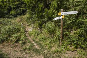 We return to the path on the right, in the area known as La Pasada de Romero, that in between chestnut trees takes us into a dense laurel forest. After a prolonged ascent we arrive at a crossing where we have to continue to the right. If we went left, we would be returning to
the hamlet of La Florida and Placeres. From above we can see the rests of an old pig farm and next to that a chicken farm that is still
operative.
We return to the path on the right, in the area known as La Pasada de Romero, that in between chestnut trees takes us into a dense laurel forest. After a prolonged ascent we arrive at a crossing where we have to continue to the right. If we went left, we would be returning to
the hamlet of La Florida and Placeres. From above we can see the rests of an old pig farm and next to that a chicken farm that is still
operative.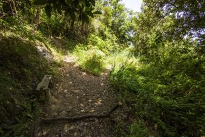 We arrive at the Los Zarzales ravine and have to cross the channel to continue ascending on its left side. On the right we find a few Monterrey pines and eucalyptus trees.After an ascending stretch we arrive at a crossing where we take the right hand path. If we went left we would take the Camino de Los Zarzales road to arrive at Placeres, passing the Los Zarzales gallery and the La Calera ravine.From here on we enter the area with the most interesting vegetation where we can see persea indica, laurels, Canary laurels, small-leaved holly, Portugal laurel, laurestine, heather, wavyleaf sea lavender, pericallis, polycarpea, rooting chain fern, ironwort, wild asparagus,
tree housleek and others.
We arrive at the Los Zarzales ravine and have to cross the channel to continue ascending on its left side. On the right we find a few Monterrey pines and eucalyptus trees.After an ascending stretch we arrive at a crossing where we take the right hand path. If we went left we would take the Camino de Los Zarzales road to arrive at Placeres, passing the Los Zarzales gallery and the La Calera ravine.From here on we enter the area with the most interesting vegetation where we can see persea indica, laurels, Canary laurels, small-leaved holly, Portugal laurel, laurestine, heather, wavyleaf sea lavender, pericallis, polycarpea, rooting chain fern, ironwort, wild asparagus,
tree housleek and others.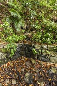 About a hundred metres further up the path we arrive at the “Fuente del Til” (stinkwood spring) where we can see an impressive stinkwood, known as the “Los Pavos” stinkwood. In this area we can sometimes hear the noise made by great spotted woodpeckers, which is uncommon because this area is more of a stronghold for laurel forest pigeons.
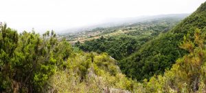 A bit further up we reach a natural lookout called Risco de los Villanos from where we can enjoy spectacular views over the La Calera ravine, the Madroño hamlet and the slopes of the Orotava Valley in general. Here begins a descent in which we have to walk carefully. It leads us to the channel of a small ravine and takes us up a section with steps.
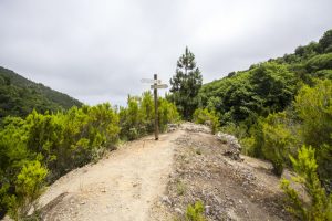 A good stretch of ascent further on we reach a crossroads where we have to continue climbing, taking the right hand path. The branch to the left would take us along the Camino de la Travesía to Las Llanadas, Madroño and Palo Blanco.
 A bit further on, to the right, we get to an alternative branch of the PR TF 40.1 trail – Camino Punta del Risco – a steep path that leads to the track on the slope of Chanajiga.Here we can see a pretty Portugal laurel copse.
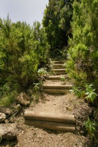 We continue upwards on a long winding stretch of steep slope over several hills. Among the vegetation we can find a few abandoned vegetable gardens. We arrive at another crossroads which to the left would take us to the hamlet of Madroño.We can see the La Zarza and La Calera ravines to one and the other side respectively.
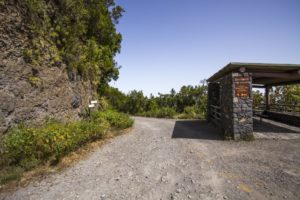
 Further up the path widens and becomes a forest road. At one of the bends we come across the junction that goes to the La Esmeralda water gallery.We continue along the old forest road until we arrive at the Chanajiga Recreational Area, where we can find information panels about the trail.
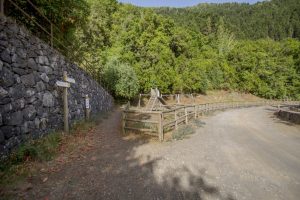 We continue our hike to the right until we arrive at a playground. Once there we take the path along the left side, right next to a stone wall. We begin walking up the first part of the old Camino de la Guarda, winding along a stretch beneath tree and shrub forest.
 After a slope with several curves we continue along a relatively level stretch until we reach the forest road of Chanajiga after going down a few stone stepsThis track is shared with bicycles, horses and motor vehicles and belongs to the BICA network of trails through natural reserves.To the right we can see water channels from different water galleries that also help the forest brigades in case of fire.
 We continue along the track under the trees until we pass the crossing with the PR TF 40.1 trail “Camino Punta del Risco” on our right. This trail can be a shortcut to abbreviate the hike and walk it in less time.
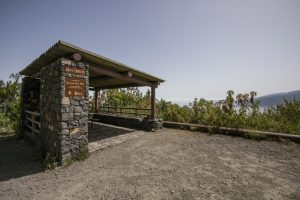 Following the marked road we arrive at Enrique Talg’s hut in an area known as “Risco de Miguel”. Next to the hut a small group of bencomias can be seen.
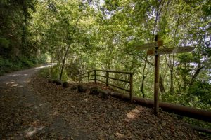 A few metres further on we take the path that appears on the right hand side and that descends down ramp with a wooden railing. This ramp takes us to another part of the old Camino de la Guarda path that leads to the Asomadero lookout.
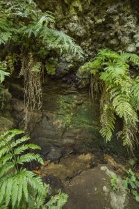 After a winding stretch of trail full of fallen leaves and shrubbery we arrive at the Los Helechos (helecho = fern) spring that lies next to a large laurel which is flanked by rooting chain fern.
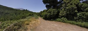 After passing this place we continue along the path that progresses through a forest of shrub and evergreen trees and and takes us to the crossing with the path that descends from the Pista General de Icod el Alto and where we turn right.We come across a cemented path that belonged to an old firebreak and is part of the old Camino del Lance trail that is in turn part of route 0 4 0. This route attracts an ever increasing
number of mountain runners from all over the world. It sets off at Playa del Socorro beach, goes up to the summit of Mount Teide and fnishes back at the beach. A few metres further on we arrive at the Asomadero lookout.
After passing this place we continue along the path that progresses through a forest of shrub and evergreen trees and and takes us to the crossing with the path that descends from the Pista General de Icod el Alto and where we turn right.We come across a cemented path that belonged to an old firebreak and is part of the old Camino del Lance trail that is in turn part of route 0 4 0. This route attracts an ever increasing
number of mountain runners from all over the world. It sets off at Playa del Socorro beach, goes up to the summit of Mount Teide and fnishes back at the beach. A few metres further on we arrive at the Asomadero lookout.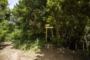 At the crossing opposite the outlook we turn right, over the Asomadero hillside and descend down the steep and winding Camino Piedras del Lomo. This slope may be slippery so one needs to be extra careful so as not to fall.If we continue straight ahead we arrive at the track that, quite a bit further down and passing through an area known as “Fuente de Pedro”, reaches La Corona, another lookout with spectacular views, and where one of the island’s most important launching areas for paragliding is located. The Fuente de Pedro is a place where an ancient spring exists is an
area that has been greatly affected by human action and by the offerings that are deposited there after the presumed appearance of the Virgin Mary in 1992.
At the crossing opposite the outlook we turn right, over the Asomadero hillside and descend down the steep and winding Camino Piedras del Lomo. This slope may be slippery so one needs to be extra careful so as not to fall.If we continue straight ahead we arrive at the track that, quite a bit further down and passing through an area known as “Fuente de Pedro”, reaches La Corona, another lookout with spectacular views, and where one of the island’s most important launching areas for paragliding is located. The Fuente de Pedro is a place where an ancient spring exists is an
area that has been greatly affected by human action and by the offerings that are deposited there after the presumed appearance of the Virgin Mary in 1992.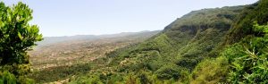 As we walk down this long descent the shrubbery mixes with chestnut trees. Halfway down we arrive at a small lookout where we can rest and recover strength.Further down, the path turns toward the Lomo de la Tarasca leading along an impressive vertical cliff.
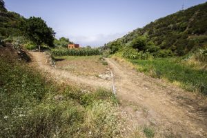 Coming out of the woods we turn right and walk through fields to arrive at an agricultural road that takes us to the next crossing.On this last bit we take the cemented path in the La Lora ravine and turning left descend along it until we reach the crossing that we passed at the beginning of our hike and that leads to Chanajiga. We descend to the left towards the starting area on the Viera y Clavijo square.

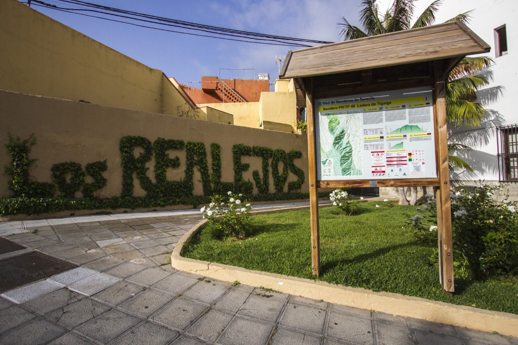

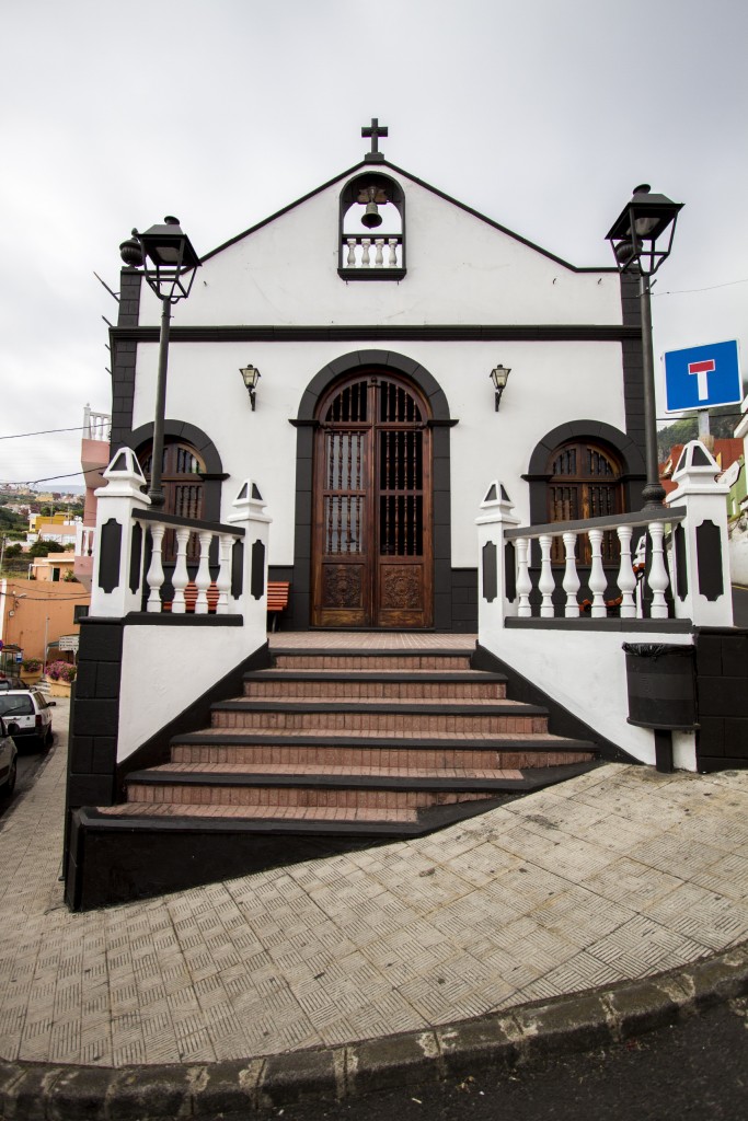

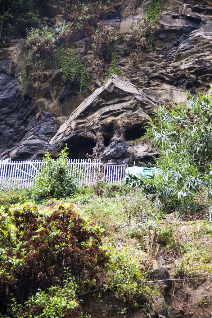

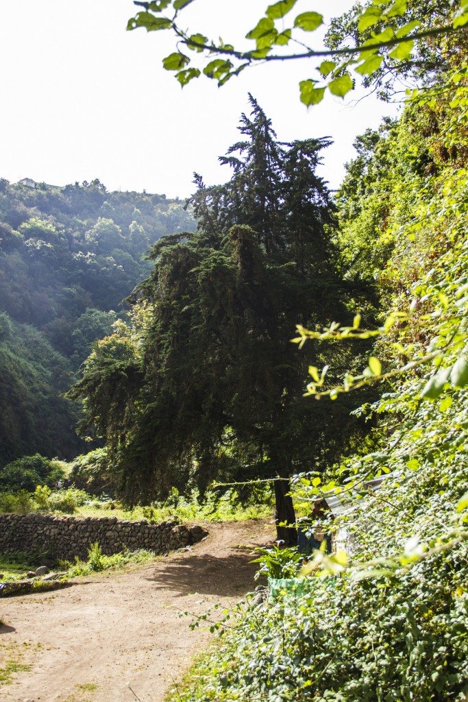

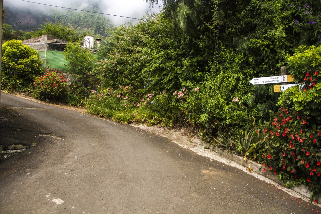


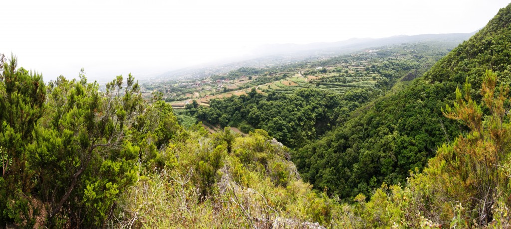
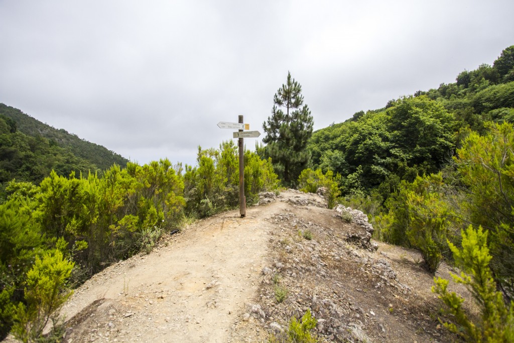
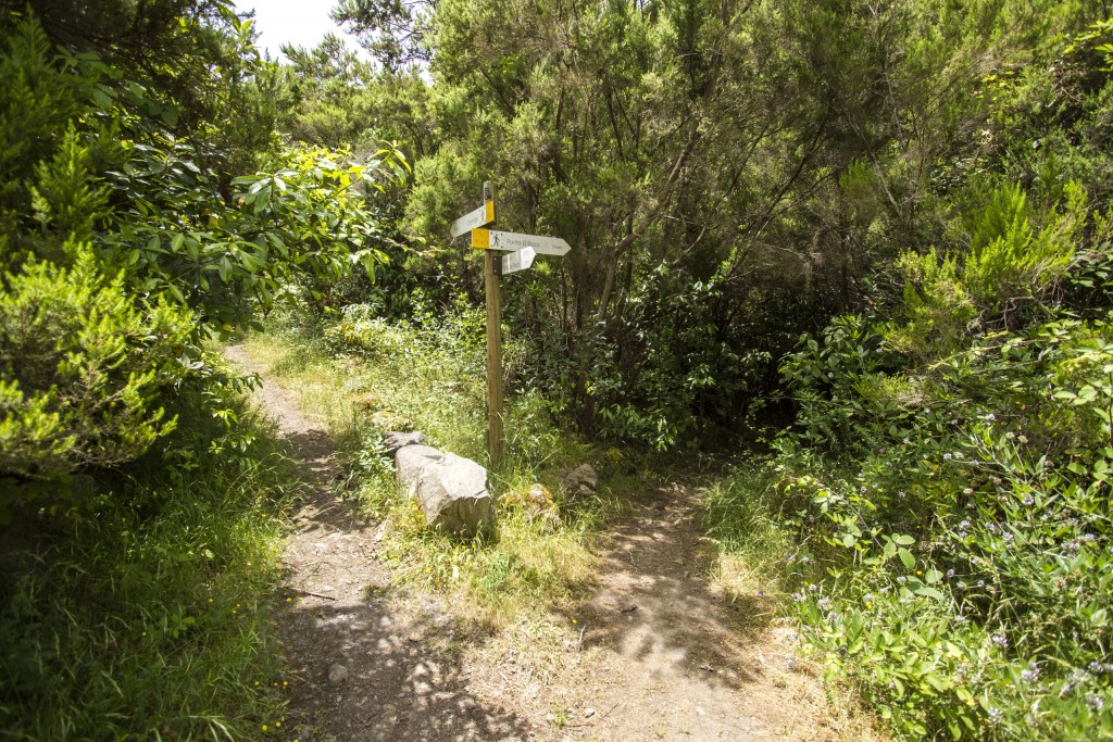

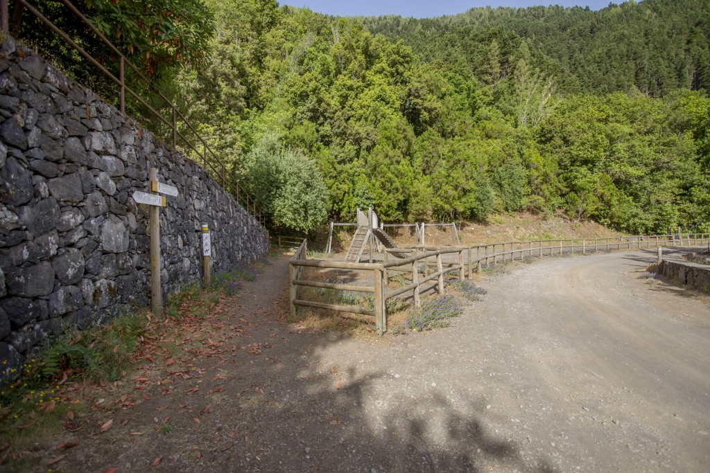
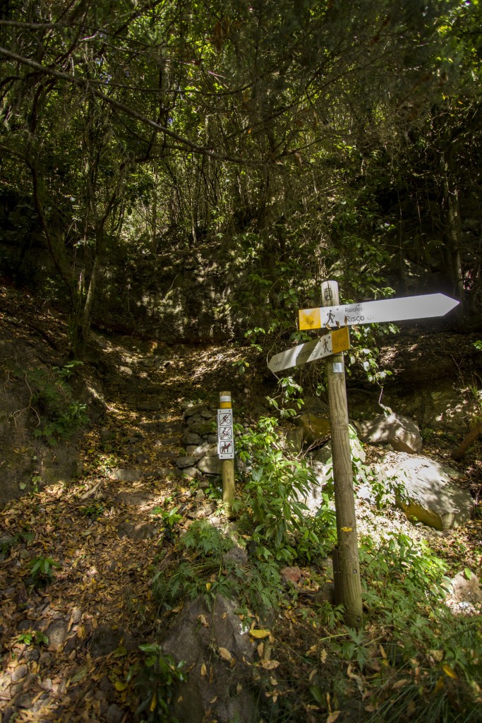
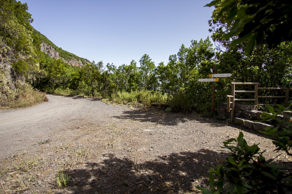


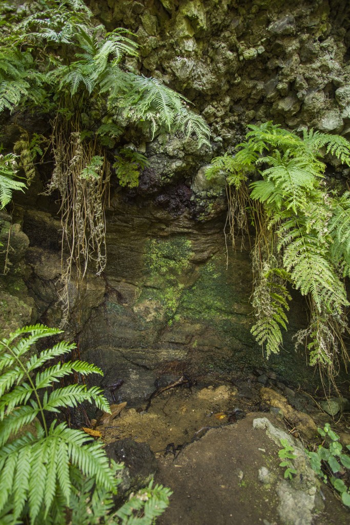


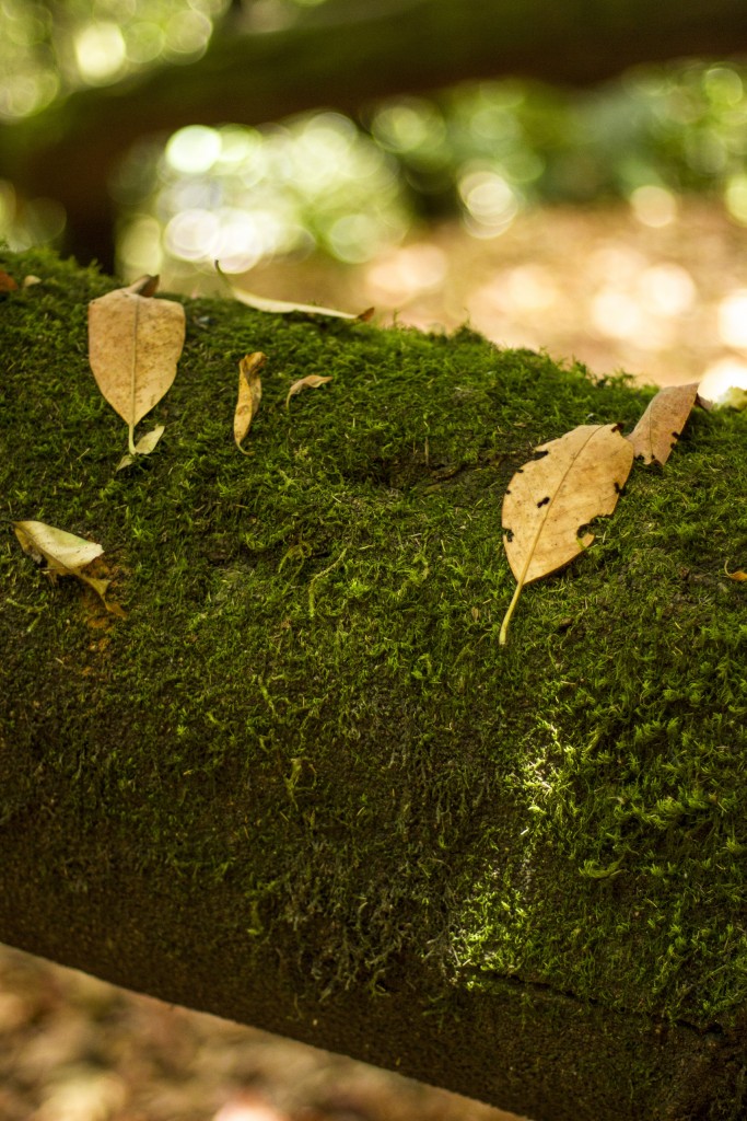
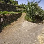
Image Gallery
-
- Detalle
-
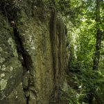
- Pared de piedra

-
- De regreso al barranco de La Lora
-
- Bajo el manto verde
-
- Choza de Enrique Talg

-

- Mirador de la Tarasca

-
- Caminando a la sombra
-
- Bajo un tupido manto verde
Video of the route
Practical information
Data sheetTransportRecommendations
Details
| Difficulty | Difícil |
| Duration | 7:00 horas |
| Circular | No |
| Distance | 14,41 km |
| Going up | 7,31 km (51%) |
| Going down | 7,09 km (49%) |
| Max. height | 1.264,75 mts |
| Min. height | 372,65 mts |
| Slope | 892,10 mts |
| Acc. drop | 2.198,00 mts |
BUS (http://www.titsa.com):
- Santiago Apóstol (Código 4120): Lines 339, 352, 353, 354, 390, 391 y 546
- Servitaxi Realejos: 922 346 045
- Radio Taxi: 922 346 096
PLAN AHEAD: When organising your hike, don’t forget to bring your charged mobile phone, sun protection cream, hat, adequate clothes and shoes, as well as sufficient water and food.
HIKE IN COMPANY: Before setting out, consult the meteorological conditions to make sure they are adequate. Inform family or friends about your route and only walk on marked paths.
AVOID MAKING NOISE: You will enjoy nature better in silence.
DON’T LEAVE RUBBISH: Take any rubbish with you, including anything organic and be
especially careful with cigarette ends. This way you help maintain the beauty of the landscape and prevent the proliferation of rodents.
RESPECT THE ENVIRONMENT: Don’t pick plants and don’t take animals or objects from
their surroundings. Respect the locals’ way of life.
BE CAREFUL: Hiking in nature holds risks. You hike under your own responsibility.
LEGAL DISCLAIMER
This leaflet is meant to be informative. The information it contains can depart from reality and cannot precisely represent the actual state of trails and paths which may have suffered alterations due to weather and other factors after this information was printed.
We remind you that adequate means and equipment have to be used for hiking and that you should always act with the necessary precaution that this activity demands.
The town hall of Los Realejos publishes this leaflet to make the trails of the municipality known to the public and does in no manner assume responsibility for its incorrect or negligent usage.