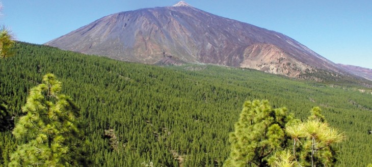
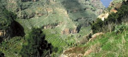
La Corona Forestal Natural Park covers an area of 46,613 ha, which make it the largest protected natural reserve in the Canary Islands.
Formed by a large area of Canarian pine forest and high mountain vegetation, this park surrounds the Teide National Park and is the green lung of Tenerife. Many of the ravines contributing to the drainage network on the island flow from this area. That’s why this area is very important for water abstraction and the protection of soil from erosion.
Three large volcanic mountain ranges converging in the centre of the island form this park. They are the result of intense volcanic activity during the second eruptive cycle of Tenerife. The steep hills of these mountain ranges stretch down to the sea and feature beautiful ravines and unique morphological sites, such as Paisaje Lunar (the Lunar Landscape) and the impressive valleys of Güímar and La Orotava.
The presence of one of the largest forests in the Canary Islands is one of the defining charcteristics of the park, where many wild and forested pinewoods can be found. The Canarian pine tree is the most representative species in the area. Despite the fires, the fact that this tree is fire-resistant has contributed to the preservation of these forests, which would have become desserts of eroded rocks otherwise.
Some Monterey pine specimens are currently being replaced for typical laurel forest species in order to bring back the original plants found in this area. Some examples of high mountain scrubland and Some examples of high mountain scrubland and fayal-brezal laurel forest can also be found in this park.
The park is the perfect refuge for fauna and flora and has a great endemic biodiversity, including both endangered species and species protected under national regulations and international conventions. The most relevant species found in the park are the laurel pigeon and the Bolle’s pigeon, but there’s also a huge range of invertebrate species, many of which are endemic.
Water abstraction is one of the most important resources in the park. Around 200 underground water passageways out of nearly a thousand found on the island stream from the Corona Forestal.
The trails found throughout the park stretch from the mountain down to the sea. They go through hills and stream beds and connect neighbouring municipalities. In some cases, these old paths have been replaced by modern forest tracks.
The park also includes a number of recreational areas, camping sites and two nature learning centres, offering visitors a wide range of services.
- Where is it?
- What is around?
- Related articles
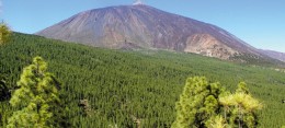 Parque Natural de La Corona Forestala 0,00 km
 Naturpark Corona Forestal – die Waldkronea 0,00 km
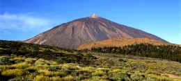 Parque Nacional del Teidea 1,22 km
 Der Teide Nationalparka 1,22 km
 Teide National Parka 1,22 km
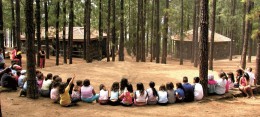 Centro de Actividades en la Naturaleza "Emilio Fernández Muñoz"a 1,45 km
 Naturkontaktzentrum „Emilio Fernández Muñoz“a 1,45 km
 The Emilio Fernández Muñoz Nature Learning Centrea 1,45 km
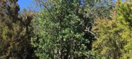 Acebiño del Inglésa 2,27 km
 Die kleinblättrige Stechpalme des Engländersa 2,27 km
 The Englishman’s Small-leaved Hollya 2,27 km
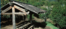 Zona Recreativa de Chanajigaa 2,57 km


